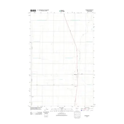
2013 Map of Beltrami
USGS Topo · Published 2013About this map
Beltrami sits at the intersection of Atlantic Ave and S Front St in this 2013 survey of Polk County. The landscape is defined by a highly managed water system designed for the agricultural plains of northwest Minnesota. Several large-scale infrastructure projects, such as County Ditch Number One Hundred Nineteen and County Ditch Number Seventythree, cut across the section lines to manage the drainage of the Red River Valley. The natural course of the Sand Hill River meanders through the southern half of the quadrangle, contrasting with the straight-line geometry of the man-made ditches. Local history is anchored by Fairview Cem south of town and Scandia Cem to the southwest, serving as markers of the area's long-established rural community and heritage.
Find a feature on this map
13 named features on this map. Tap any name to fly to it.
Don’t see what you’re looking for? This feature index may not catch every label — zoom into the map to look around manually.
Map Details
Editions of this 2013 Beltrami Map
This is the sole edition of this map. No revisions or reprints were ever made.
Other maps of this area

1918 · Twin Valley
USGS Topo · 1:62,500

1919 · Beltrami
USGS Topo · 1:62,500

1924 · Ada
USGS Topo · 1:62,500

1952 · Grand Forks
USGS Topo · 1:250,000

1956 · Grand Forks
USGS Topo · 1:250,000

1964 · Beltrami
USGS Topo · 1:24,000

1964 · Beltrami SW
USGS Topo · 1:24,000

1964 · Girard
USGS Topo · 1:24,000

1964 · Greenview
USGS Topo · 1:24,000

1965 · Lockhart
USGS Topo · 1:24,000