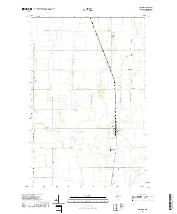
2022 Map of Beltrami
USGS Topo · Published 2022About this map
The village of Beltrami serves as the central hub of this agricultural landscape in Polk County, situated at the intersection of Atlantic Ave and Polk Ave. The terrain is characterized by an extensive network of drainage systems essential to the region's farming economy, including the Judicial Ditch Number Fiftythree and the County Ditch Number Seventythree. These engineered waterways crisscross the plains, supplementing natural features like the Sand Hill River and Maple Cr. For genealogists and local historians, the map identifies key community landmarks such as Fairview Cem just south of the main settlement and Scandia Cem located near the intersection of Co Hwy 14 and 270th Ave SW. The township grid system, marked by boundaries like t147n r46w, illustrates the orderly North Woods settlement patterns that persist into the 21st century.
Find a feature on this map
32 named features on this map. Tap any name to fly to it.
Don’t see what you’re looking for? This feature index may not catch every label — zoom into the map to look around manually.
Map Details
Editions of this 2022 Beltrami Map
This is the sole edition of this map. No revisions or reprints were ever made.
Other maps of this area

1918 · Twin Valley
USGS Topo · 1:62,500

1919 · Beltrami
USGS Topo · 1:62,500

1924 · Ada
USGS Topo · 1:62,500

1952 · Grand Forks
USGS Topo · 1:250,000

1956 · Grand Forks
USGS Topo · 1:250,000

1964 · Beltrami
USGS Topo · 1:24,000

1964 · Beltrami SW
USGS Topo · 1:24,000

1964 · Girard
USGS Topo · 1:24,000

1964 · Greenview
USGS Topo · 1:24,000

1965 · Lockhart
USGS Topo · 1:24,000