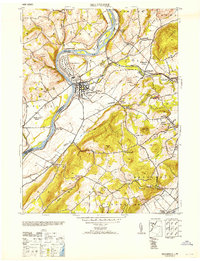
1953 Map of Belvidere
USGS Topo · Published 1953About this map
Industrial and transport networks converge where the Pequest River meets the Delaware River at the county seat. This 1953 reprint of mid-1940s data highlights a period of significant manufacturing activity, featuring the Pequest Hosiery Mill and the expansive Hercules Powder Co facility near the riverbank. The local economy is further anchored by the Oxford Furnace to the southeast, a site with deep roots in the region's iron history. The landscape is marked by numerous active resource extraction points, with several Quarry sites scattered near Hazen and Bridgeville. Transportation is a defining characteristic of the area, as the Lehigh and Hudson River and the Lackawanna and Western railroads navigate the terrain. Education and community life are represented by the Gravel Hill School and Oxford Church, while the Martins Creek Airport serves the growing aviation needs of the post-war era.
Find a feature on this map
44 named features on this map. Tap any name to fly to it.
Don’t see what you’re looking for? This feature index may not catch every label — zoom into the map to look around manually.
Map Details
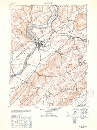
Editions of this 1953 Belvidere Map
2 editions found
Other maps of this area

1888 · Hackettstown
USGS Topo · 1:62,500

1890 · Easton
USGS Topo · 1:62,500

1890 · High Bridge
USGS Topo · 1:62,500

1891 · Easton
USGS Topo · 1:62,500

1891 · Delaware Water Gap
USGS Topo · 1:62,500

1893 · Delaware Water Gap
USGS Topo · 1:62,500

1894 · Hackettstown
USGS Topo · 1:62,500

1898 · Hackettstown
USGS Topo · 1:62,500

1898 · High Bridge
USGS Topo · 1:62,500

1900 · Raritan
USGS Topo · 1:125,000