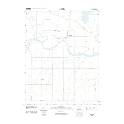
2010 Map of Belvue
USGS Topo · Published 2010About this map
The Kansas River flows broadly across this Pottawatomie County landscape, south of the established settlement of Belvue. This area is defined by its drainage systems, where Vermillion Creek and Rock Creek converge in the northwest, while southern reaches are fed by Little Wells Creek and Roberts Creek. The map provides significant detail for genealogists, documenting three distinct burial grounds: Belvue Cemetery, Saint Johns Cemetery, and Greenwood Cemetery.
Find a feature on this map
36 named features on this map. Tap any name to fly to it.
Don’t see what you’re looking for? This feature index may not catch every label — zoom into the map to look around manually.
Map Details
Editions of this 2010 Belvue Map
This is the sole edition of this map. No revisions or reprints were ever made.
Other maps of this area

1889 · Wamego
USGS Topo · 1:125,000

1894 · Wamego
USGS Topo · 1:125,000

1953 · Wamego
USGS Topo · 1:24,000

1953 · Maple Hill
USGS Topo · 1:24,000

1953 · Belvue
USGS Topo · 1:24,000

1953 · St Marys
USGS Topo · 1:24,000

1954 · Alma
USGS Topo · 1:24,000

1954 · Mc Farland
USGS Topo · 1:24,000

1955 · Manhattan
USGS Topo · 1:250,000

1956 · Manhattan
USGS Topo · 1:250,000