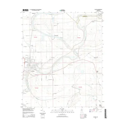
2015 Map of Belzoni
USGS Topo · Published 2015About this map
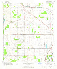
The Yazoo River defines the landscape of the Mississippi Delta in this area, winding past several established communities and numerous oxbow lakes. The town of Belzoni serves as a focal point, featuring a detailed street grid including Central Ave and Washington St, while surrounding settlements like Jaketown, Deovolente, and Brooklyn show the distributed nature of the region's agricultural heritage.
Find a feature on this map
93 named features on this map. Tap any name to fly to it.
Don’t see what you’re looking for? This feature index may not catch every label — zoom into the map to look around manually.
Map Details
Editions of this 2015 Belzoni Map
This is the sole edition of this map. No revisions or reprints were ever made.
Other maps of this area
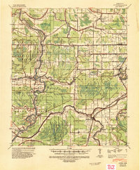
1940 · Auter
USGS Topo · 1:62,500
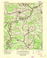
1940 · Baird
USGS Topo · 1:62,500
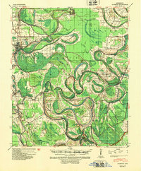
1940 · Mileston
USGS Topo · 1:62,500

1953 · Greenwood
USGS Topo · 1:250,000
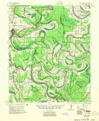
1954 · Mileston
USGS Topo · 1:62,500

1956 · Greenwood
USGS Topo · 1:250,000
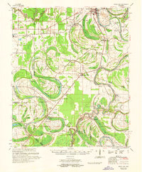
1961 · Mossy Lake
USGS Topo · 1:62,500
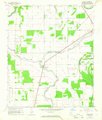
1965 · Midnight
USGS Topo · 1:24,000
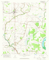
1965 · Inverness
USGS Topo · 1:24,000
1965 · Bellewood
USGS Topo · 1:24,000