
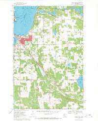
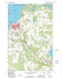
1968 Map of Bemidji East
USGS Topo · Published 1970About this map
The Mississippi River winds through this 1968 landscape, connecting Lake Bemidji and Lake Irving at the heart of Beltrami County. This era shows Bemidji as a growing regional hub, with the Bemidji State College campus established on the western shore and the community of Nymore positioned near the industrial rail junctions. The map documents a complex transportation network where the Northern Pacific and Great Soo railroads converge, supporting a local economy of gravel extraction and timber. Further south, the settlement of Rosby sits along the Necktie River, while landmarks like the Midway Seaplane Base and a Drive-in Theater capture the mid-century recreational character of the Northwoods. Local heritage is preserved through dozens of labels for community pillars, including Trinity Ch, Aardahl Ch, and the Nymore Cem.
Find a feature on this map
46 named features on this map. Tap any name to fly to it.
Don’t see what you’re looking for? This feature index may not catch every label — zoom into the map to look around manually.
Map Details
Editions of this 1968 Bemidji East Map
3 editions found
Other maps of this area

1920 · Buena Vista
USGS Topo · 1:62,500

1954 · Bemidji
USGS Topo · 1:250,000

1957 · Bemidji
USGS Topo · 1:250,000

1958 · Bemidji
USGS Topo · 1:250,000

1968 · Guthrie
USGS Topo · 1:24,000

1968 · Frontenac Lake
USGS Topo · 1:24,000

1968 · Bemidji West
USGS Topo · 1:24,000

1972 · Peterson Lake
USGS Topo · 1:24,000

1972 · Turtle River Lake
USGS Topo · 1:24,000
1972 · Turtle River
USGS Topo · 1:24,000