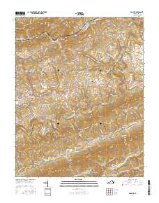
2016 Map of Ben Hur
USGS Topo · Published 2016About this map
Jonesville and Ben Hur anchor this detailed study of the Lee County landscape, where the Powell River cuts through the ridges of the Appalachians. The map captures a complex network of valley settlements and family landmarks, including Collier Mill and Kincer Mill, which point to a long history of water-powered industry in the region. Transportation routes like the Trail of the Lonesome Pine Rd follow the natural contours of Stone Mountain and Wallen Ridge, while historic river crossings are preserved at Poteet Ferry Bridge and Sewell Bridge. Dozens of family burial grounds and small community focal points, such as Millers Chapel and Lee Memorial Gardens, are meticulously documented. The physical geography is defined by parallel ridges and deep hollows like Long Hollow and Ball Hollow, illustrating how the terrain shaped the development of communities like Sulphur Springs and Blackwater.
Find a feature on this map
165 named features on this map. Tap any name to fly to it.
Don’t see what you’re looking for? This feature index may not catch every label — zoom into the map to look around manually.
Map Details
Editions of this 2016 Ben Hur Map
This is the sole edition of this map. No revisions or reprints were ever made.
Other maps of this area

1887 · Jonesville
USGS Topo · 1:125,000

1891 · Jonesville
USGS Topo · 1:125,000

1894 · Estillville
USGS Topo · 1:125,000

1916 · Nolansburg
USGS Topo · 1:48,000

1919 · Nolansburg
USGS Topo · 1:62,500

1921 · Big Stone Gap
USGS Topo · 1:48,000

1922 · Big Stone Gap
USGS Topo · 1:62,500

1929 · Big Stone Gap
USGS Topo · 1:62,500

1935 · Kyles Ford
USGS Topo · 1:24,000

1935 · Looneys Gap
USGS Topo · 1:24,000