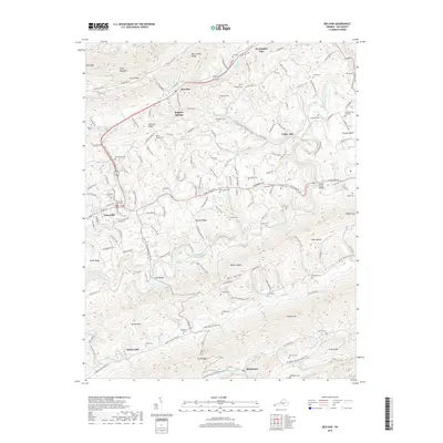
2019 Map of Ben Hur
USGS Topo · Published 2019About this map
Jonesville and the Lee County Courthouse stand as central landmarks in this pocket of Southwest Virginia, where the landscape is defined by long, parallel ridges and valleys. The Powell River winds through the center of the terrain, flanked by Wallen Ridge and Stone Mountain. Historical travel corridors follow these natural gaps, with the Trail of the Lonesome Pine Rd, the Daniel Boone Trl, and Wilderness Rd tracing the legacy of early migration through the Appalachians. Smaller settlements like Ben Hur, Blackwater, and Sulphur Springs are connected by a network of rural roads such as the Dr Andrew Jackson Osborne Hwy. The map is particularly dense with family cemeteries, including Daugherty Cem, Roop Cem, and Parkey Cem, providing an extensive record for genealogical research across the ridges of Chestnut Ridge and Powell Mtn.
Find a feature on this map
71 named features on this map. Tap any name to fly to it.
Don’t see what you’re looking for? This feature index may not catch every label — zoom into the map to look around manually.
Map Details
Editions of this 2019 Ben Hur Map
This is the sole edition of this map. No revisions or reprints were ever made.
Other maps of this area

1887 · Jonesville
USGS Topo · 1:125,000

1891 · Jonesville
USGS Topo · 1:125,000

1894 · Estillville
USGS Topo · 1:125,000

1916 · Nolansburg
USGS Topo · 1:48,000

1919 · Nolansburg
USGS Topo · 1:62,500

1921 · Big Stone Gap
USGS Topo · 1:48,000

1922 · Big Stone Gap
USGS Topo · 1:62,500

1929 · Big Stone Gap
USGS Topo · 1:62,500

1935 · Kyles Ford
USGS Topo · 1:24,000

1935 · Looneys Gap
USGS Topo · 1:24,000