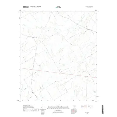
2019 Map of Ben Hur
USGS Topo · Published 2019About this map
Ben Hur and the surrounding ranchlands of Limestone County are defined by a network of seasonal watercourses and small, scattered settlements. This 2019 survey captures the modern rural landscape, where the primary topographic elevation at Horn Hill overlooks the junctions of Big Elm Cr and Cedar Cr. The map preserves the locations of local burial grounds, including Nus Cem near Kirk and Horn Hill Cem further east, which serve as critical anchor points for family historians.
Find a feature on this map
52 named features on this map. Tap any name to fly to it.
Don’t see what you’re looking for? This feature index may not catch every label — zoom into the map to look around manually.
Map Details
Editions of this 2019 Ben Hur Map
This is the sole edition of this map. No revisions or reprints were ever made.
Other maps of this area

1920 · Mart
USGS Topo · 1:62,500

1954 · Waco
USGS Topo · 1:250,000

1955 · Waco
USGS Topo · 1:250,000

1956 · Mart
USGS Topo · 1:24,000

1957 · Prairie Hill
USGS Topo · 1:24,000

1957 · Groesbeck
USGS Topo · 1:62,500

1957 · Otto
USGS Topo · 1:24,000

1960 · Echols
USGS Topo · 1:24,000

1960 · Groesbeck
USGS Topo · 1:24,000

1960 · Tehuacana
USGS Topo · 1:24,000