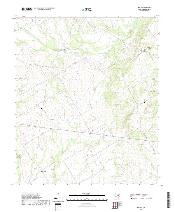
2022 Map of Ben Hur
USGS Topo · Published 2022About this map
Ben Hur serves as a central anchor for this part of Limestone County, situated among the headwaters and branches that define the local drainage basin. The landscape is carved by numerous waterways including Big Elm Creek, Elm Creek, and Cedar Creek, which together create a rolling topography of draws and rises. These natural features shaped the early settlement patterns of the area, as evidenced by the dispersed communities of Kirk and Horn Hill.
Find a feature on this map
53 named features on this map. Tap any name to fly to it.
Don’t see what you’re looking for? This feature index may not catch every label — zoom into the map to look around manually.
Map Details
Editions of this 2022 Ben Hur Map
This is the sole edition of this map. No revisions or reprints were ever made.
Other maps of this area

1920 · Mart
USGS Topo · 1:62,500

1954 · Waco
USGS Topo · 1:250,000

1955 · Waco
USGS Topo · 1:250,000

1956 · Mart
USGS Topo · 1:24,000

1957 · Prairie Hill
USGS Topo · 1:24,000

1957 · Groesbeck
USGS Topo · 1:62,500

1957 · Otto
USGS Topo · 1:24,000

1960 · Echols
USGS Topo · 1:24,000

1960 · Groesbeck
USGS Topo · 1:24,000

1960 · Tehuacana
USGS Topo · 1:24,000