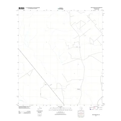
2013 Map of Benavides NW
USGS Topo · Published 2013About this map
Guerra Cem and Tinney Piedras Pintas Cem stand as prominent landmarks in this rural Duval County landscape, providing important geographic markers for family historians and local researchers. The terrain is defined by a network of ranch and county roads, including Co RD-314 and Co RD-316, which crisscross the brush country of South Texas. These routes trace the development of local land tracts and historical ranching boundaries in the region northwest of Benavides.
Find a feature on this map
7 named features on this map. Tap any name to fly to it.
Don’t see what you’re looking for? This feature index may not catch every label — zoom into the map to look around manually.
Map Details
Editions of this 2013 Benavides NW Map
This is the sole edition of this map. No revisions or reprints were ever made.
Other maps of this area

1956 · Benavides
USGS Topo · 1:62,500

1956 · Rosita Ranch
USGS Topo · 1:62,500

1956 · Freer
USGS Topo · 1:62,500

1956 · Laredo
USGS Topo · 1:250,000

1967 · Parrilla Creek SE
USGS Topo · 1:24,000

1968 · Benavides NW
USGS Topo · 1:24,000

1968 · San Jose
USGS Topo · 1:24,000

1968 · Benavides
USGS Topo · 1:24,000

1968 · Parrilla Creek NE
USGS Topo · 1:24,000
1968 · Benavides NE
USGS Topo · 1:24,000