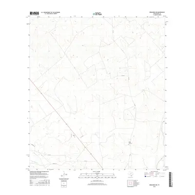
2016 Map of Benavides NW
USGS Topo · Published 2016About this map
Guerra Cem and Tinney Piedras Pintas Cem serve as vital family landmarks in this ranching landscape of Duval County. The terrain is defined by the ephemeral drainage of Las Animas Cr and a network of rural roads that connect isolated homesteads and pastures. State and county routes like Fm 3196, Co Rd 314, and the strictly named Privranch Rd illustrate the modern infrastructure required to manage these extensive South Texas landholdings. This 2016 survey provides a precise view of the geographic intersections between public transit corridors and private ranching boundaries, offering specific value to those tracing local family history or land use patterns in this part of the state.
Find a feature on this map
9 named features on this map. Tap any name to fly to it.
Don’t see what you’re looking for? This feature index may not catch every label — zoom into the map to look around manually.
Map Details
Editions of this 2016 Benavides NW Map
This is the sole edition of this map. No revisions or reprints were ever made.
Other maps of this area

1956 · Benavides
USGS Topo · 1:62,500

1956 · Rosita Ranch
USGS Topo · 1:62,500

1956 · Freer
USGS Topo · 1:62,500

1956 · Laredo
USGS Topo · 1:250,000

1967 · Parrilla Creek SE
USGS Topo · 1:24,000

1968 · Benavides NW
USGS Topo · 1:24,000

1968 · San Jose
USGS Topo · 1:24,000

1968 · Benavides
USGS Topo · 1:24,000

1968 · Parrilla Creek NE
USGS Topo · 1:24,000
1968 · Benavides NE
USGS Topo · 1:24,000