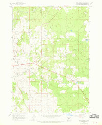
1962 Map of Bend Airport
USGS Topo · Published 1970About this map
Agricultural development and early aviation intersect in this central Oregon landscape surveyed in 1962. The arid high desert terrain is defined by a sophisticated irrigation network, including the Central Oregon Canal, Arnold Canal, and North Unit Main Canal, which permitted farming and ranching on the periphery of the growing region. Cultural markers of rural life are scattered throughout, from the Grange Hall and Racetrack to schoolhouses such as Young Sch and Lava Rock Sch.
Find a feature on this map
29 named features on this map. Tap any name to fly to it.
Don’t see what you’re looking for? This feature index may not catch every label — zoom into the map to look around manually.
Map Details
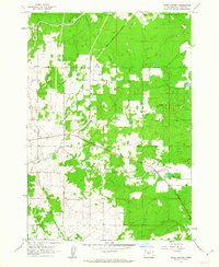
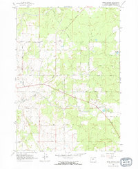
Editions of this 1962 Bend Airport Map
3 editions found
Other maps of this area

1926 · Bend
USGS Topo · 1:125,000

1929 · Bend
USGS Topo · 1:125,000

1931 · Newberry Crater
USGS Topo · 1:125,000

1935 · Newberry Crater
USGS Topo · 1:125,000

1955 · Crescent
USGS Topo · 1:250,000

1955 · Bend
USGS Topo · 1:250,000

1957 · Crescent
USGS Topo · 1:250,000

1957 · Bend
USGS Topo · 1:250,000

1958 · Crescent
USGS Topo · 1:250,000

1958 · Bend
USGS Topo · 1:250,000