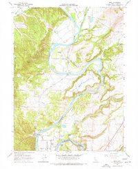
1965 Map of Bend
USGS Topo · Published 1977About this map
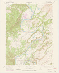
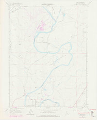
The Sacramento River carves a complex course through this portion of Tehama County, creating prominent landforms like Bloody Island and the turbulent Chinese Rapids. In the mid-1960s, the landscape was defined by established agricultural outposts and small settlements including Bend, Emerson, and the Sharon Fruit Colony. Transport across the river was anchored by the Jellys Ferry Bridge and Bend Bridge, connecting a network of local roads and jeep trails that service family-named properties like Jelly Ranch and Inks Creek Ranch.
Find a feature on this map
38 named features on this map. Tap any name to fly to it.
Don’t see what you’re looking for? This feature index may not catch every label — zoom into the map to look around manually.
Map Details
Editions of this 1965 Bend Map
6 editions found
Other maps of this area

1890 · Red Bluff
USGS Topo · 1:250,000

1894 · Red Bluff
USGS Topo · 1:250,000

1905 · Tehama
USGS Topo · 1:62,500

1944 · Tuscan Buttes
USGS Topo · 1:62,500

1947 · Tuscan Buttes
USGS Topo · 1:62,500

1947 · Anderson
USGS Topo · 1:62,500

1948 · Anderson
USGS Topo · 1:62,500

1951 · Red Bluff East
USGS Topo · 1:24,000

1951 · Red Bluff West
USGS Topo · 1:24,000
1951 · Tuscan Springs
USGS Topo · 1:24,000