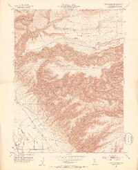
1951 Map of Tuscan Springs
USGS Topo · Published 1953About this map
Tuscan Springs and the surrounding tablelands define this early 1950s survey of the northern Sacramento Valley foothills. The transition from the alluvial floor to the volcanic uplands is marked by the Rio De Los Berrendos and El Primer Cañon, where the landscape breaks into a complex network of drainages including Antelope Creek and Salt Creek. Human activity is concentrated along the western edge, where Dairyville sits near the Antelope Slough, supported by an Irrigation Ditch, a Siphon, and a Levee system.
Find a feature on this map
31 named features on this map. Tap any name to fly to it.
Don’t see what you’re looking for? This feature index may not catch every label — zoom into the map to look around manually.
Map Details
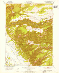
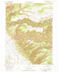
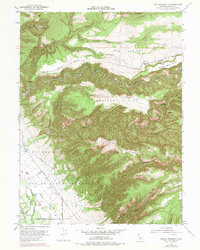
Editions of this 1951 Tuscan Springs Map
4 editions found
Other maps of this area

1886 · Lassen Peak
USGS Topo · 1:250,000

1890 · Red Bluff
USGS Topo · 1:250,000

1892 · Lassen Peak
USGS Topo · 1:250,000

1894 · Lassen Peak
USGS Topo · 1:250,000

1894 · Red Bluff
USGS Topo · 1:250,000

1905 · Tehama
USGS Topo · 1:62,500

1935 · Paynes Creek
USGS Topo · 1:96,000

1941 · Mineral
USGS Topo · 1:125,000

1944 · Tuscan Buttes
USGS Topo · 1:62,500

1947 · Tuscan Buttes
USGS Topo · 1:62,500