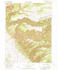
1951 Map of Tuscan Springs
USGS Topo · Published 1970About this map
The waters of Tuscan Springs and the complex drainage of Antelope Creek define this landscape in Tehama County. The terrain transitions from the open expanses of Abraham Plains and Mud Springs Plains into the intricate network of canyons known as El Primer Cañon o Rio de los Berrendos. The map documents early water management infrastructure, showing an Irrigation Ditch, a Canal, and a Flume utilized to move water through the dry northern California foothills. Settlement is concentrated near Dairyville in the southwest, where the grid of Kauffman Ave and Schafer Ave meets the meandering Antelope Slough. High ground landmarks like Potato Hill and The Hogback provide orientation across a region marked by steep gulches and historic routes like Tuscan Springs Road.
Find a feature on this map
33 named features on this map. Tap any name to fly to it.
Don’t see what you’re looking for? This feature index may not catch every label — zoom into the map to look around manually.
Map Details
Editions of this 1951 Tuscan Springs Map
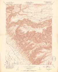
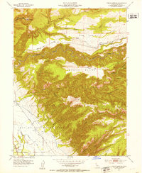
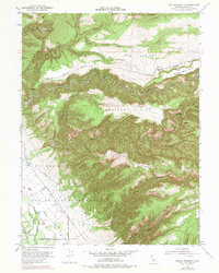
4 editions found
Other maps of this area

1886 · Lassen Peak
USGS Topo · 1:250,000

1890 · Red Bluff
USGS Topo · 1:250,000

1892 · Lassen Peak
USGS Topo · 1:250,000

1894 · Lassen Peak
USGS Topo · 1:250,000

1894 · Red Bluff
USGS Topo · 1:250,000

1905 · Tehama
USGS Topo · 1:62,500

1935 · Paynes Creek
USGS Topo · 1:96,000

1941 · Mineral
USGS Topo · 1:125,000

1944 · Tuscan Buttes
USGS Topo · 1:62,500

1947 · Tuscan Buttes
USGS Topo · 1:62,500