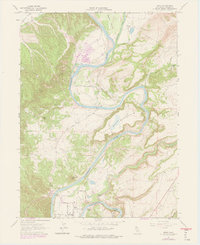
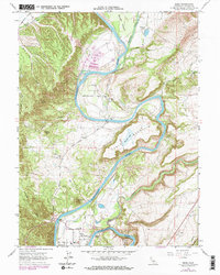
1965 Map of Bend
USGS Topo · Published 1978About this map
The Sacramento River carves a deep path through Tehama County in this mid-1960s survey, defined by its sharp bends and the looming presence of Table Mountain. This landscape is marked by a clear agricultural and ranching heritage, notably the Saxon Fruit Colony and several family-named outfits like Battle Creek Ranch and Inks Creek Ranch. The river itself is the primary navigational and economic axis, punctuated by the Jellys Ferry Bridge and the Bend Bridge, which connect the disparate ranch lands.
Find a feature on this map
41 named features on this map. Tap any name to fly to it.
Don’t see what you’re looking for? This feature index may not catch every label — zoom into the map to look around manually.
Map Details
Editions of this 1965 Bend Map
6 editions found
Other maps of this area

1890 · Red Bluff
USGS Topo · 1:250,000

1894 · Red Bluff
USGS Topo · 1:250,000

1905 · Tehama
USGS Topo · 1:62,500

1944 · Tuscan Buttes
USGS Topo · 1:62,500

1947 · Tuscan Buttes
USGS Topo · 1:62,500

1947 · Anderson
USGS Topo · 1:62,500

1948 · Anderson
USGS Topo · 1:62,500

1951 · Red Bluff East
USGS Topo · 1:24,000

1951 · Red Bluff West
USGS Topo · 1:24,000
1951 · Tuscan Springs
USGS Topo · 1:24,000