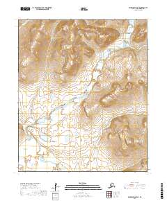
2017 Map of Bendeleben A-5 SE
USGS Topo · Published 2017About this map
The Niukluk River drainage dominates this portion of the Seward Peninsula, winding through the Bendeleben Mountains area where several smaller tributaries converge. Fed by Kingsley Cr from the northeast and Hash Cr closer to its central channel, the river forms a complex hydrographic network essential to the local landscape. In the western reaches, the Libby River flows through the township boundaries of t5s r28w and t4s r27w. This 2017 survey details a wilderness devoid of modern infrastructure, where geographic orientation relies entirely on the natural paths of Howard Cr and American Cr. The absence of roads or settlements emphasizes the remote nature of this Nome Census Area territory, preserved here in a state of topographic isolation.
Find a feature on this map
14 named features on this map. Tap any name to fly to it.
Don’t see what you’re looking for? This feature index may not catch every label — zoom into the map to look around manually.
Map Details
Editions of this 2017 Bendeleben A-5 SE Map
This is the sole edition of this map. No revisions or reprints were ever made.
Other maps of this area

1907 · Casadepaga
USGS Topo · 1:62,500

1950 · Bendeleben A-4
USGS Topo · 1:63,360

1950 · Bendeleben A-5
USGS Topo · 1:63,360

1950 · Bendeleben
USGS Topo · 1:250,000

1950 · Solomon
USGS Topo · 1:250,000

1950 · Solomon D-4
USGS Topo · 1:63,360

1950 · Solomon D-5
USGS Topo · 1:63,360

1951 · Bendeleben
USGS Topo · 1:250,000

1951 · Solomon
USGS Topo · 1:250,000

1964 · Bendeleben
USGS Topo · 1:250,000