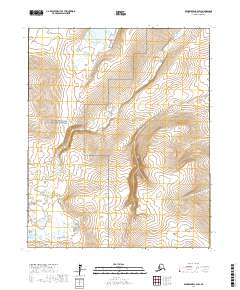
2017 Map of Bendeleben C-2 SW
USGS Topo · Published 2017About this map
Bering Land Bridge National Preserve dominates the western interior of this remote Arctic landscape in the late 2010s. The terrain is defined by the high, winding path of the Continental Divide as it cuts across the southern and eastern quadrants, separating local watersheds. The Kugruk River flows through the center and northwest, fed by smaller tributaries like Circle Cr that drain the high ground. This survey illustrates a wilderness nearly devoid of human development, where geographic landmarks like Kettle Dome serve as the primary navigational anchors. The lack of roads or settlements highlights the isolation of this portion of the Seward Peninsula, preserved as a vast protected corridor between the Chukchi and Bering Seas.
Find a feature on this map
11 named features on this map. Tap any name to fly to it.
Don’t see what you’re looking for? This feature index may not catch every label — zoom into the map to look around manually.
Map Details
Editions of this 2017 Bendeleben C-2 SW Map
This is the sole edition of this map. No revisions or reprints were ever made.
Other maps of this area

1950 · Bendeleben C-3
USGS Topo · 1:63,360

1950 · Bendeleben B-2
USGS Topo · 1:63,360

1950 · Bendeleben C-2
USGS Topo · 1:63,360

1950 · Bendeleben B-3
USGS Topo · 1:63,360

1950 · Bendeleben
USGS Topo · 1:250,000

1951 · Bendeleben
USGS Topo · 1:250,000

1964 · Bendeleben
USGS Topo · 1:250,000
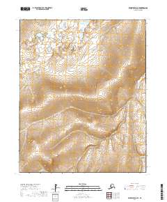
2017 · Bendeleben C-2 SE
USGS Topo · 1:25,000
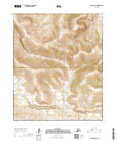
2017 · Bendeleben B-2 NE
USGS Topo · 1:25,000
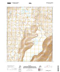
2017 · Bendeleben C-2 NW
USGS Topo · 1:25,000