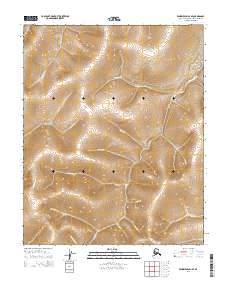
2014 Map of Bendeleben D-1 SE
USGS Topo · Published 2014About this map
Candle Cr dominates the central drainage of this Northwest Arctic Borough landscape, carving a significant path through a territory defined by its dense network of named waterways. The terrain is notably dissected by steep drainages and localized geological features such as Rain Gulch and Dacy Gulch, suggesting a region shaped by significant periglacial or hydraulic action. This U.S. Geological Survey representation reveals a wilderness nearly devoid of modern infrastructure, where the natural hydrologic system remains the primary organizing element. From the northern reaches of Minnehaha Cr and Patterson Cr to the southern drainages of Hunter Cr and Quartz Cr, the map provides an exacting look at the topographic contours and precise flow of water across this remote Seward Peninsula interior. The concentration of named creeks like Potato Cr and Montana Cr highlights the intricate, fine-grained nature of the local drainage basins.
Find a feature on this map
21 named features on this map. Tap any name to fly to it.
Don’t see what you’re looking for? This feature index may not catch every label — zoom into the map to look around manually.
Map Details
Editions of this 2014 Bendeleben D-1 SE Map
This is the sole edition of this map. No revisions or reprints were ever made.
Other maps of this area

1950 · Bendeleben C-1
USGS Topo · 1:63,360

1950 · Bendeleben
USGS Topo · 1:250,000

1950 · Bendeleben D-1
USGS Topo · 1:63,360

1950 · Candle C-6
USGS Topo · 1:63,360

1951 · Candle
USGS Topo · 1:250,000

1951 · Bendeleben
USGS Topo · 1:250,000

1951 · Candle D-6
USGS Topo · 1:63,360

1955 · Candle
USGS Topo · 1:250,000

1964 · Bendeleben
USGS Topo · 1:250,000

1964 · Candle
USGS Topo · 1:250,000