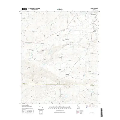
2017 Map of Benedict
USGS Topo · Published 2017About this map
Cedartown sits at the northern edge of this landscape where the ridge-and-valley terrain of Polk Co meets Haralson Co to the south. The area is characterized by prominent peaks like Treat Mtn and Loveless Mtn, separated by drainages such as Pumpkin Pile Cr and the evocative Devils Darning Needle Hollow. Small rural communities and historical nodes are scattered throughout the hills, including Benedict, Akes, and Fullwood Springs. Genealogists will find a high density of burial sites including the South Side Cem and several church-affiliated grounds like Shiloh Baptist Church Cem and Pine Bower Baptist Church Cem. The map reveals a complex network of water sources, from West Spring to numerous small lakes like Pettit Lake and Griffin Lake, which likely supported the agricultural and residential development of these upland communities during the early twenty-first century.
Find a feature on this map
112 named features on this map. Tap any name to fly to it.
Don’t see what you’re looking for? This feature index may not catch every label — zoom into the map to look around manually.
Map Details
Editions of this 2017 Benedict Map
This is the sole edition of this map. No revisions or reprints were ever made.
Other maps of this area

1886 · Rome
USGS Topo · 1:125,000

1889 · Tallapoosa
USGS Topo · 1:125,000

1892 · Tallapoosa
USGS Topo · 1:125,000

1897 · Tallapoosa
USGS Topo · 1:125,000

1898 · Rome
USGS Topo · 1:125,000

1899 · Rome
USGS Topo · 1:125,000

1904 · Rome
USGS Topo · 1:125,000

1953 · Atlanta
USGS Topo · 1:250,000

1955 · Rome
USGS Topo · 1:250,000

1957 · Atlanta
USGS Topo · 1:250,000