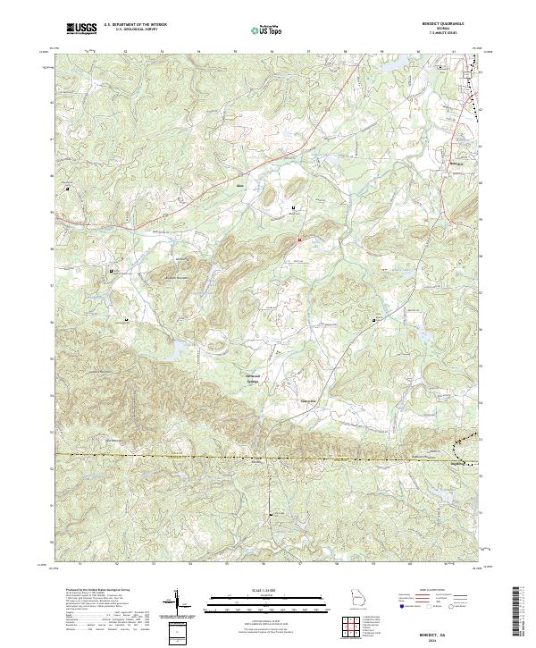
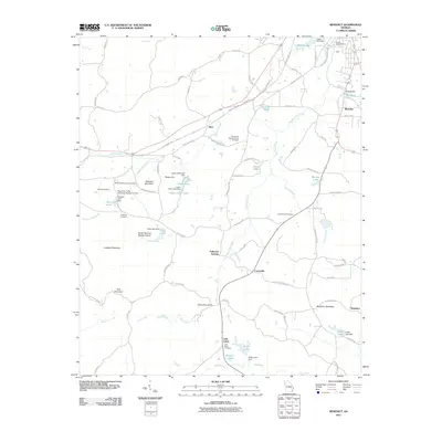
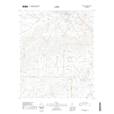
2024 Map of Benedict
USGS Topo · Published 2024About this map
Dugdown Mountain marks the southern horizon where the border of Polk County meets Haralson County, anchoring a landscape defined by prominent ridges and numerous small water bodies. Small rural settlements like Akes, Fullwood Springs, and Caseyville are interspersed throughout this Georgia backcountry, connected by a network of winding roads such as Akes Station Rd and Potash Rd. The presence of several family and community burial grounds, including Hutchings Cem and Shiloh Baptist Church Cem, suggests a long-settled agricultural heritage.
Find a feature on this map
104 named features on this map. Tap any name to fly to it.
Don’t see what you’re looking for? This feature index may not catch every label — zoom into the map to look around manually.
Map Details
Editions of this 2024 Benedict Map
This is the sole edition of this map. No revisions or reprints were ever made.
Historical Maps of Cedartown Through Time
36 maps found
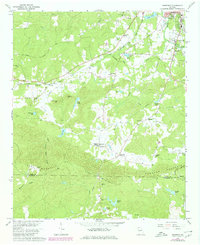
1966 Benedict
Polk County, GA
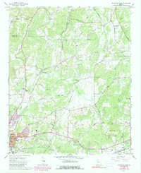
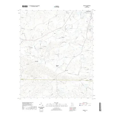
1967 Cedartown East
Polk County, GA
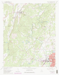
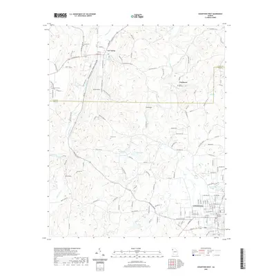
1967 Cedartown West
Polk County, GA
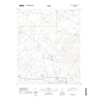
1968 Rockmart North
Polk County, GA
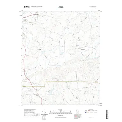
1973 Felton
Polk County, GA
1973 Rockmart South
Polk County, GA
2011 Benedict
Polk County, GA
2011 Cedartown East
Polk County, GA
2011 Cedartown West
Polk County, GA
2011 Felton
Polk County, GA
2011 Rockmart North
Polk County, GA
2011 Rockmart South
Polk County, GA
2014 Benedict
Polk County, GA

2014 Cedartown East
Polk County, GA
2014 Cedartown West
Polk County, GA
2014 Felton
Polk County, GA
2014 Rockmart North
Polk County, GA
2014 Rockmart South
Polk County, GA
2017 Benedict
Polk County, GA
2017 Cedartown East
Polk County, GA
2017 Cedartown West
Polk County, GA
2017 Felton
Polk County, GA
2017 Rockmart North
Polk County, GA
2017 Rockmart South
Polk County, GA
2020 Benedict
Polk County, GA

2020 Cedartown East
Polk County, GA
2020 Cedartown West
Polk County, GA
2020 Felton
Polk County, GA
2020 Rockmart North
Polk County, GA
2020 Rockmart South
Polk County, GA
2024 Benedict
Polk County, GA
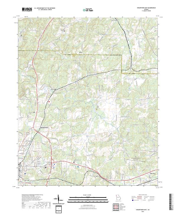
2024 Cedartown East
Polk County, GA
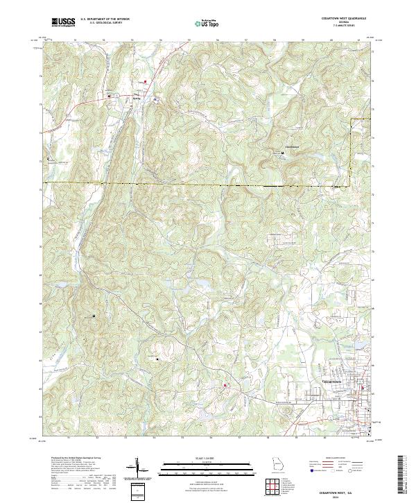
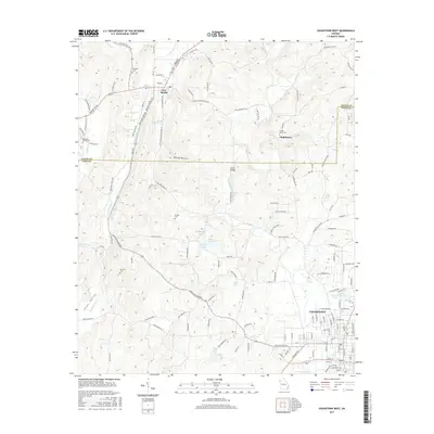
2024 Cedartown West
Polk County, GA
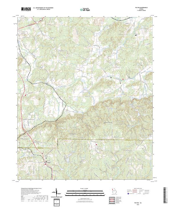
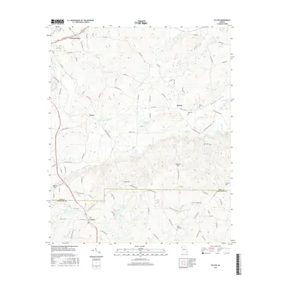
2024 Felton
Polk County, GA
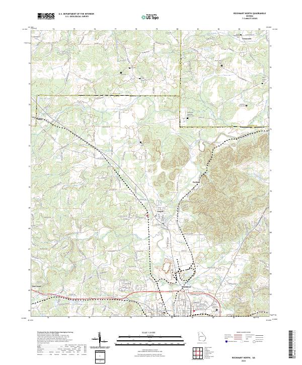
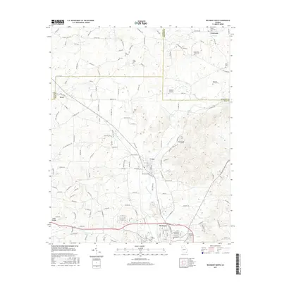
2024 Rockmart North
Polk County, GA
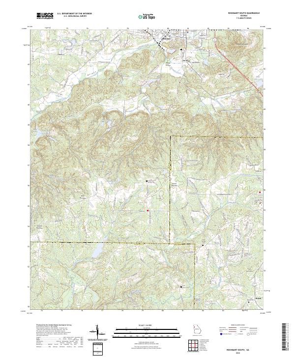
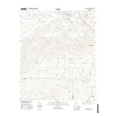
2024 Rockmart South
Polk County, GA