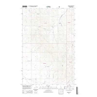
2013 Map of Benewah
USGS Topo · Published 2013About this map
Benewah is situated along the upper reaches of Benewah Cr, surrounded by a complex system of passes and high meadows. This area of Benewah County is defined by its drainages, where Moc-ti-le-me Cr and Windfall Cr flow near Windfall Pass, while the southern reaches are marked by Ne-he-chen Cr and Squaw Creek. The presence of high-altitude features like Hnp'ekwle'n Meadow and Ni'nsi' Meadow suggests a landscape historically used for seasonal grazing or transit between the river valleys. Transport through these mountains is etched into the terrain via routes such as Alder Creek Rd and Old Sanders Rd, which navigate the slopes around Moses Mtn. The map preserves the specific spatial relationship between these creek-side settlements and the passes, such as Lolo Pass, that provided access across the dividing ridges in the early 21st century.
Find a feature on this map
37 named features on this map. Tap any name to fly to it.
Don’t see what you’re looking for? This feature index may not catch every label — zoom into the map to look around manually.
Map Details
Editions of this 2013 Benewah Map
This is the sole edition of this map. No revisions or reprints were ever made.
Other maps of this area

1955 · Spokane
USGS Topo · 1:250,000

1957 · St. Maries
USGS Topo · 1:62,500

1957 · Emida
USGS Topo · 1:62,500

1957 · Plummer
USGS Topo · 1:62,500

1957 · Tensed
USGS Topo · 1:62,500

1958 · Spokane
USGS Topo · 1:250,000

1975 · Plummer SE
USGS Topo · 1:24,000

1981 · St Maries
USGS Topo · 1:100,000
1981 · Benewah Lake
USGS Topo · 1:24,000
1981 · Plummer
USGS Topo · 1:24,000