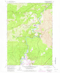
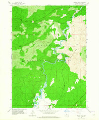
1963 Map of Benham Falls
USGS Topo · Published 1981About this map
Deschutes River rapids and dramatic volcanic geology dominate this landscape within the Deschutes National Forest. The map documents a sequence of natural river features including Lava Island Falls, Dillon Falls, and Benham Falls, where the water navigates extensive Lava flows. These volcanic deposits are interspersed with riparian areas like Ryan Ranch Meadow and Lava Island.
Find a feature on this map
32 named features on this map. Tap any name to fly to it.
Don’t see what you’re looking for? This feature index may not catch every label — zoom into the map to look around manually.
Map Details
Editions of this 1963 Benham Falls Map
2 editions found
Other maps of this area

1926 · Bend
USGS Topo · 1:125,000

1929 · Bend
USGS Topo · 1:125,000

1929 · Three Sisters
USGS Topo · 1:125,000

1930 · Maiden Peak
USGS Topo · 1:125,000

1931 · Newberry Crater
USGS Topo · 1:125,000

1932 · Three Sisters
USGS Topo · 1:125,000

1934 · Maiden Peak
USGS Topo · 1:125,000

1935 · Newberry Crater
USGS Topo · 1:125,000

1955 · Crescent
USGS Topo · 1:250,000

1955 · Bend
USGS Topo · 1:250,000