Loading...
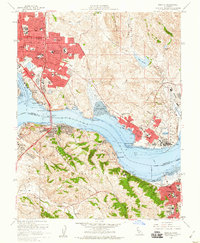
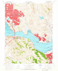
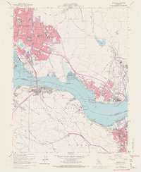
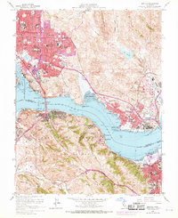
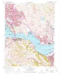
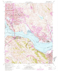
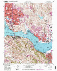
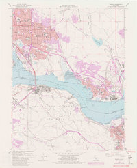
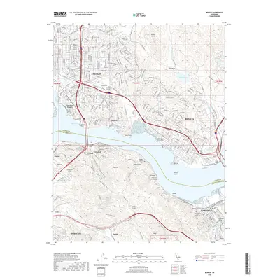
Loading map...1959 Map of Benicia
USGS Topo · Published 1960About this map
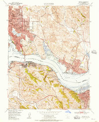
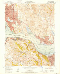
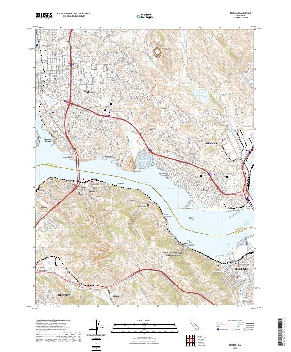
The Carquinez Strait serves as the central artery of this 1959 survey, connecting the industrial waterfronts of Vallejo, Benicia, and Martinez. The map captures a period of significant post-war expansion, visible in the burgeoning residential tracts of Steffan Manor, Beverly Hills, and Carquinez Heights. Along the northern shore, the sprawling Benicia Arsenal remains a dominant land use, while the historic Benicia Capitol State Historical Mon stands as a reminder of the city's early political importance.
Find a feature on this map
97 named features on this map. Tap any name to fly to it.
Don’t see what you’re looking for? This feature index may not catch every label — zoom into the map to look around manually.
Map Details
Date Portrayed1959
Date Published1960
PublisherU.S. Geological Survey
Map TypeTopographic
Scale1:24,000
Physical Dimensions22 x 26.8 inches
Editions of this 1959 Benicia Map
8 editions found
Historical Maps of Vallejo Through Time
7 maps found
Featured Locations
Source Details
SourceU.S. Geological Survey
CopyrightPublic Domain