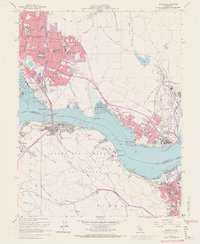
1959 Map of Benicia
USGS Topo · Published 1969About this map
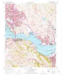
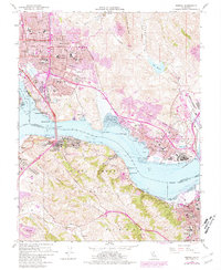
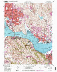
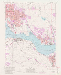
Vallejo and Benicia anchor this detailed mid-century survey of the industrial and maritime corridors bordering the Carquinez Strait. The landscape is defined by the convergence of major transportation networks, from the Southern Pacific railroad tracks hugging the shoreline to the massive Carquinez Bridge connecting Solano and Contra Costa Counties. This edition includes purple revisions from the late 1960s, showing the northward expansion of residential areas like Steffan Manor and the growth of neighborhoods near Lake Herman.
Find a feature on this map
92 named features on this map. Tap any name to fly to it.
Don’t see what you’re looking for? This feature index may not catch every label — zoom into the map to look around manually.
Map Details
Editions of this 1959 Benicia Map
8 editions found
Other maps of this area

1895 · San Francisco
USGS Topo · 1:62,500

1896 · Carquinez Strait
USGS Topo · 1:62,500

1897 · Concord
USGS Topo · 1:62,500

1898 · Karquines
USGS Topo · 1:62,500

1899 · San Francisco
USGS Topo · 1:62,500

1901 · Karquines
USGS Topo · 1:62,500

1902 · Napa
USGS Topo · 1:125,000

1915 · Concord
USGS Topo · 1:62,500

1915 · San Francisco
USGS Topo · 1:62,500

1916 · Mare Island
USGS Topo · 1:62,500