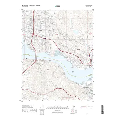
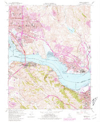
1959 Map of Benicia
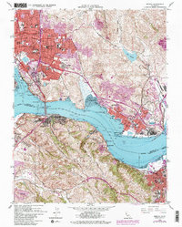
USGS Topo · Published 1981About this map
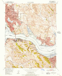
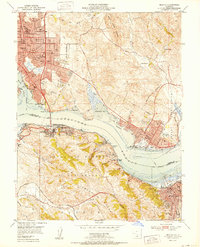
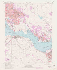
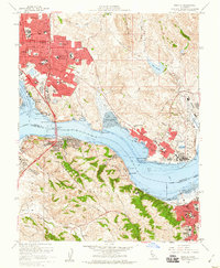
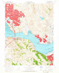
Vallejo and Benicia anchor this 1959 coastal survey, which highlights the heavy industrial and maritime character of the Carquinez Strait during a period of significant postwar development. The map details an intricate rail network, with the Southern Pacific and Atchison Topeka and Santa Fe lines connecting shoreline industrial hubs like Oleum, Selby, and Ozol. Notable educational and civic landmarks include the California Maritime Academy and the Benicia Capitol State Historical Mon, marking the city's brief tenure as California's seat of government.
Find a feature on this map
84 named features on this map. Tap any name to fly to it.
Don’t see what you’re looking for? This feature index may not catch every label — zoom into the map to look around manually.
Map Details
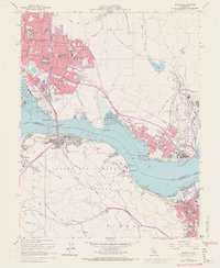
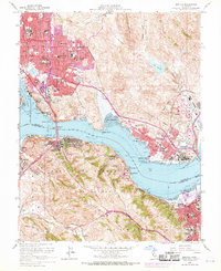
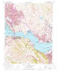
Editions of this 1959 Benicia Map
8 editions found
Historical Maps of Vallejo Through Time
7 maps found