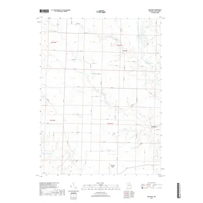
2017 Map of Benjamin
USGS Topo · Published 2017About this map
The Wyaconda River and its meandering tributaries define the landscape of Lewis County in this recent survey. Small rural clusters like Benjamin and Derrahs are connected by a network of state routes and county roads, reflecting the persistent agricultural character of northeast Missouri. For genealogists, the map is particularly useful for locating several small burial grounds, including Patterson Cem, Graves Cem, Henton Cem, and Jarvis Cem, which are scattered across the township sections.
Find a feature on this map
46 named features on this map. Tap any name to fly to it.
Don’t see what you’re looking for? This feature index may not catch every label — zoom into the map to look around manually.
Map Details
Editions of this 2017 Benjamin Map
This is the sole edition of this map. No revisions or reprints were ever made.
Other maps of this area

1903 · Kahoka
USGS Topo · 1:125,000

1949 · Kahoka SE
USGS Topo · 1:24,000

1949 · St. Patrick
USGS Topo · 1:24,000

1950 · Saint Patrick
USGS Topo · 1:24,000

1950 · Kahoka SE
USGS Topo · 1:24,000

1950 · Neeper
USGS Topo · 1:24,000

1950 · La Grange
USGS Topo · 1:24,000

1950 · Benjamin
USGS Topo · 1:24,000

1950 · Williamstown
USGS Topo · 1:24,000

1950 · Canton
USGS Topo · 1:24,000