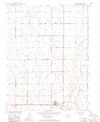
1949 Map of Bennett
USGS Topo · Published 1963About this map
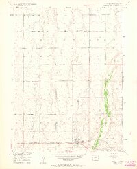
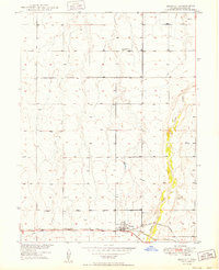
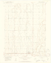
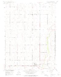
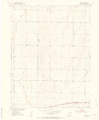
Bennett serves as the focal point of this landscape, situated at the intersection of the Union Pacific railroad and the Old Victory Highway. The settlement patterns here follow the logic of the High Plains, with development clustered near the rail line and the reliable passage of the highway. Educational and civic life is anchored by the Central Valley Sch to the north and the Bennett Cem located just east of the main town site.
Find a feature on this map
10 named features on this map. Tap any name to fly to it.
Don’t see what you’re looking for? This feature index may not catch every label — zoom into the map to look around manually.
Map Details
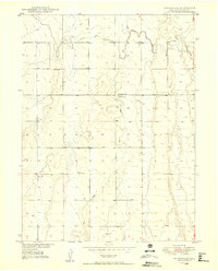
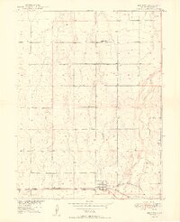
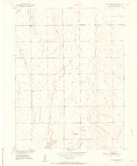
Editions of this 1949 Bennett Map
6 editions found
Other maps of this area

1890 · East Denver
USGS Topo · 1:125,000
1949 · Sunnydale
USGS Topo · 1:24,000
1949 · Bennett
USGS Topo · 1:24,000

1950 · Roper School
USGS Topo · 1:24,000

1951 · Roper School
USGS Topo · 1:24,000
1951 · Living Springs
USGS Topo · 1:24,000
1951 · Manila
USGS Topo · 1:24,000
1952 · Horse Creek
USGS Topo · 1:24,000

1953 · Denver
USGS Topo · 1:250,000
1954 · Watkins
USGS Topo · 1:24,000