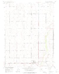
1949 Map of Bennett
USGS Topo · Published 1975About this map
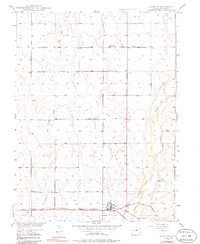
The high plains of Adams County are defined here by the parallel drainage of Lost Creek and Kiowa Creek as they flow north through open country. The town of Bennett serves as the focal point for this rural landscape, situated at the intersection of the Union Pacific railroad and the Old Victory Highway. This alignment of rail and road through the southern portion of the map illustrates the area's role as a transportation corridor connecting the Denver region to the eastern plains.
Find a feature on this map
10 named features on this map. Tap any name to fly to it.
Don’t see what you’re looking for? This feature index may not catch every label — zoom into the map to look around manually.
Map Details
Editions of this 1949 Bennett Map
6 editions found
Other maps of this area

1890 · East Denver
USGS Topo · 1:125,000

1949 · Sunnydale
USGS Topo · 1:24,000

1949 · Bennett
USGS Topo · 1:24,000

1950 · Roper School
USGS Topo · 1:24,000

1951 · Roper School
USGS Topo · 1:24,000

1951 · Living Springs
USGS Topo · 1:24,000

1951 · Manila
USGS Topo · 1:24,000
1952 · Horse Creek
USGS Topo · 1:24,000

1953 · Denver
USGS Topo · 1:250,000

1954 · Watkins
USGS Topo · 1:24,000