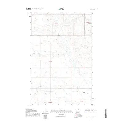
2020 Map of Bennett Lake NW
USGS Topo · Published 2020About this map
Rudolph Valley and its surrounding drainages characterize this section of Phillips County, defined by a network of seasonal watercourses and coulees. The landscape is shaped by the presence of Alkali Creek, which along with W Alkali Cr, carves a path through the northern plains. This 2020 edition reveals the intricate topography of the region, where family-named or local landmarks like Williams Coulee and Rudolph Coulee provide reference points in an otherwise open, low-relief environment. The mapping of Brown Coulee and Halfway Coulee illustrates how runoff patterns dictate the character of the terrain, while the Public Land Survey System grid highlights the organized township and range divisions that govern this rural Montana landscape.
Find a feature on this map
14 named features on this map. Tap any name to fly to it.
Don’t see what you’re looking for? This feature index may not catch every label — zoom into the map to look around manually.
Map Details
Editions of this 2020 Bennett Lake NW Map
This is the sole edition of this map. No revisions or reprints were ever made.
Other maps of this area

1953 · Havre
USGS Topo · 1:250,000

1954 · Glasgow
USGS Topo · 1:250,000

1957 · Glasgow
USGS Topo · 1:250,000

1957 · Havre
USGS Topo · 1:250,000

1958 · Glasgow
USGS Topo · 1:250,000

1958 · Havre
USGS Topo · 1:250,000

1965 · Wagner
USGS Topo · 1:24,000

1965 · West Alkali Reservoir
USGS Topo · 1:24,000
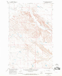
1965 · Seymour Reservoir
USGS Topo · 1:24,000

1968 · Malta West
USGS Topo · 1:24,000