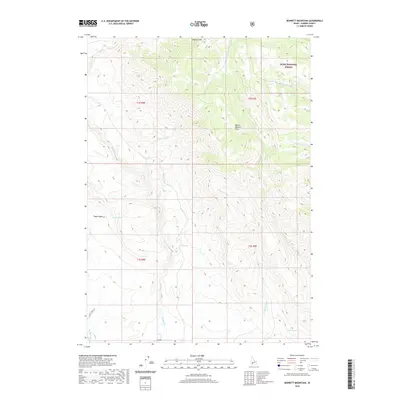
2020 Map of Bennett Mountain
USGS Topo · Published 2020About this map
Boise National Forest occupies the northeastern corner of this landscape, where the terrain rises toward the heights of Bennett Mtn. The area is defined by a series of steep drainages, including Little Canyon Cr and W Fork Cold Springs Cr, which carve through the Mount Bennett Hills. This high-desert environment in Elmore County is marked by essential water sources for cattle and wildlife, such as Teapot Spring, High Spring, and Coyote Spring. To the west, Teapot Basin forms a natural depression between the ridges. The southern portion of the quadrangle shows limited infrastructure, primarily providing access via Ross Rd and Se Hot Creek Rd, reflecting the remote, rangeland character of the region. The network of seasonal streams like Willow Cr and Ryegrass Cr suggests a landscape shaped by intermittent water flow and traditional grazing use.
Find a feature on this map
21 named features on this map. Tap any name to fly to it.
Don’t see what you’re looking for? This feature index may not catch every label — zoom into the map to look around manually.
Map Details
Editions of this 2020 Bennett Mountain Map
This is the sole edition of this map. No revisions or reprints were ever made.
Other maps of this area

1892 · Mountain Home
USGS Topo · 1:125,000

1892 · Camas Prairie
USGS Topo · 1:125,000

1893 · Mountain Home
USGS Topo · 1:125,000

1893 · Camas Prairie
USGS Topo · 1:125,000

1955 · Hailey
USGS Topo · 1:250,000
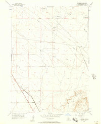
1956 · Reverse
USGS Topo · 1:24,000

1956 · Mountain Home
USGS Topo · 1:62,500
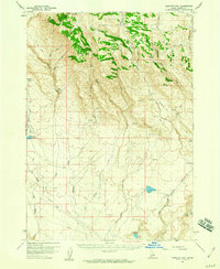
1958 · Bennett Mtn
USGS Topo · 1:62,500

1959 · Hailey
USGS Topo · 1:250,000

1960 · Danskin Peak
USGS Topo · 1:62,500