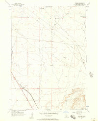
1956 Map of Reverse
USGS Topo · Published 1957About this map
Reverse sits at the intersection of early pioneer pathways and modern rail infrastructure in this mid-century portrait of the Elmore County landscape. The Old Oregon Trail Highway cuts across the southwestern corner, tracing a historic migration route that parallels the Union Pacific (Oregon Short Line) railroad. This alignment highlights how 19th-century overland trails dictated the corridor for later industrial transportation.
Find a feature on this map
12 named features on this map. Tap any name to fly to it.
Don’t see what you’re looking for? This feature index may not catch every label — zoom into the map to look around manually.
Map Details
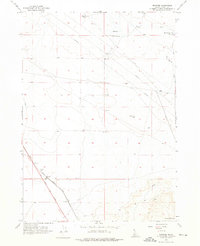
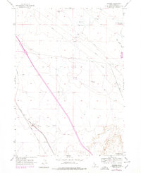
Editions of this 1956 Reverse Map
Other maps of this area

1892 · Mountain Home
USGS Topo · 1:125,000

1892 · Camas Prairie
USGS Topo · 1:125,000

1893 · Mountain Home
USGS Topo · 1:125,000

1893 · Camas Prairie
USGS Topo · 1:125,000

1947 · Indian Cove
USGS Topo · 1:24,000

1947 · Hammett
USGS Topo · 1:24,000

1947 · Sand Dunes
USGS Topo · 1:24,000

1948 · Sand Dunes
USGS Topo · 1:24,000

1948 · Hammett
USGS Topo · 1:24,000

1948 · Indian Cove
USGS Topo · 1:24,000