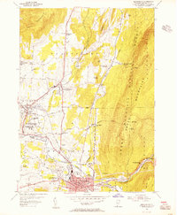
1954 Map of Bennington
USGS Topo · Published 1956About this map
The Walloomsac River valley serves as the industrial and cultural anchor of this mid-century Vermont landscape, where the historic core of Old Bennington sits west of the expanding commercial center. The map documents a dense network of local institutions, from Bennington College in the northwest to the State Soldiers Home near the town center. The Rutland Railroad winds through the valley, connecting the paper-milling heritage of Paper Mill Village with the agricultural and residential districts of South Shaftsbury.
Find a feature on this map
63 named features on this map. Tap any name to fly to it.
Don’t see what you’re looking for? This feature index may not catch every label — zoom into the map to look around manually.
Map Details
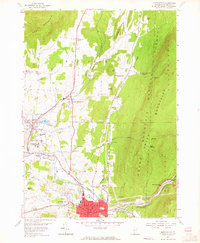
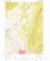
Editions of this 1954 Bennington Map
3 editions found
Other maps of this area

1894 · Equinox
USGS Topo · 1:62,500

1895 · Cambridge
USGS Topo · 1:62,500

1896 · Equinox
USGS Topo · 1:62,500

1897 · Hoosick
USGS Topo · 1:62,500

1898 · Cambridge
USGS Topo · 1:62,500

1898 · Bennington
USGS Topo · 1:62,500

1900 · Taconic
USGS Topo · 1:125,000

1900 · Equinox
USGS Topo · 1:62,500

1901 · Cambridge
USGS Topo · 1:62,500

1903 · Mettawee
USGS Topo · 1:125,000