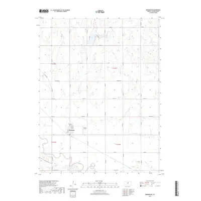
2018 Map of Bennington
USGS Topo · Published 2018About this map
Bennington serves as the primary hub of this Ottawa County landscape, situated just north of the meandering Solomon River. The town grid is clearly defined by local thoroughfares such as N Putnam St, N Struble St, and N Lincoln St, reflecting a classic Midwestern settlement pattern. North of the town center, Bennington Cem offers a vital point of interest for genealogists tracing local family histories.
Find a feature on this map
32 named features on this map. Tap any name to fly to it.
Don’t see what you’re looking for? This feature index may not catch every label — zoom into the map to look around manually.
Map Details
Editions of this 2018 Bennington Map
This is the sole edition of this map. No revisions or reprints were ever made.
Other maps of this area

1889 · Abilene
USGS Topo · 1:125,000

1891 · Clay Center
USGS Topo · 1:125,000

1892 · Salina
USGS Topo · 1:125,000

1892 · Minneapolis
USGS Topo · 1:125,000

1894 · Abilene
USGS Topo · 1:125,000

1942 · Salina
USGS Topo · 1:125,000

1955 · Trenton
USGS Topo · 1:24,000

1955 · Niles
USGS Topo · 1:24,000

1955 · New Cambria
USGS Topo · 1:24,000

1955 · Manhattan
USGS Topo · 1:250,000