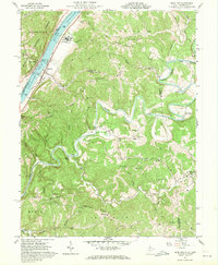
1960 Map of Bens Run
USGS Topo · Published 1970About this map
Baltimore and Ohio rail lines trace the eastern bank of the Ohio River in this 1960s study of the Pleasants County riverfront. The landscape is defined by the sharp contrast between the industrial river corridor and the winding, deep-cut valley of Middle Island Creek to the south. Near the settlement of Bens Run, infrastructure like Lock and Dam No 16 and a Salt Evaporator Res indicate a landscape shaped by both navigation and resource extraction.
Find a feature on this map
65 named features on this map. Tap any name to fly to it.
Don’t see what you’re looking for? This feature index may not catch every label — zoom into the map to look around manually.
Map Details
Editions of this 1960 Bens Run Map
3 editions found
Other maps of this area

1905 · West Union
USGS Topo · 1:62,500

1905 · New Matamoras
USGS Topo · 1:62,500

1906 · Saint Marys
USGS Topo · 1:62,500

1906 · New Martinsville
USGS Topo · 1:62,500

1924 · St Marys
USGS Topo · 1:62,500

1924 · New Martinsville
USGS Topo · 1:62,500

1924 · New Matamoras
USGS Topo · 1:62,500

1924 · West Union
USGS Topo · 1:62,500

1926 · New Martinsville
USGS Topo · 1:62,500

1926 · New Matamoras
USGS Topo · 1:62,500