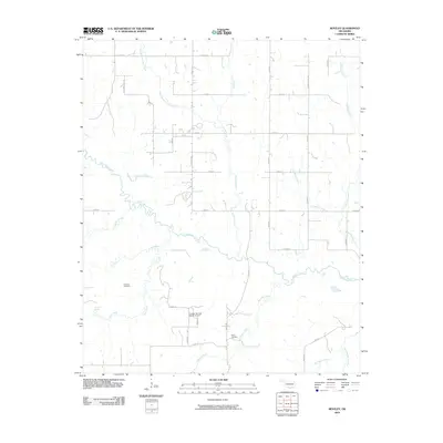
2009 Map of Bentley
USGS Topo · Published 2009About this map
Clear Boggy Creek meanders through this section of Bryan County, defining the drainage patterns for numerous smaller tributaries in the Oklahoma countryside. The landscape is characterized by its agricultural grid, marked by rural routes like Matoy Rd and S Bentley Rd, which connect the scattered homesteads and ranchlands. This 2009 survey highlights the geographic center of local history at the Matoy Cemetery and Turnbull Cemetery, key sites for genealogical research in this region. The map also features the Canyon Springs Ranch Airport, a private aviation facility tucked among the creeks. Significant water features such as Bois d'Arc Creek and Dancing Rabbit Creek drain the southern portion of the quadrangle, illustrating the complex network of branches and springs, including Turnbull Springs, that sustain the local rural economy.
Find a feature on this map
37 named features on this map. Tap any name to fly to it.
Don’t see what you’re looking for? This feature index may not catch every label — zoom into the map to look around manually.
Map Details
Editions of this 2009 Bentley Map
This is the sole edition of this map. No revisions or reprints were ever made.
Other maps of this area

1899 · Atoka
USGS Topo · 1:125,000

1900 · Atoka
USGS Topo · 1:125,000

1901 · Antlers
USGS Topo · 1:125,000

1912 · Antlers
USGS Topo · 1:125,000

1925 · Antlers
USGS Topo · 1:125,000

1950 · Mcalester
USGS Topo · 1:250,000

1957 · Bruno
USGS Topo · 1:24,000

1957 · Lane
USGS Topo · 1:24,000

1957 · Ardmore
USGS Topo · 1:250,000

1962 · McAlester
USGS Topo · 1:250,000