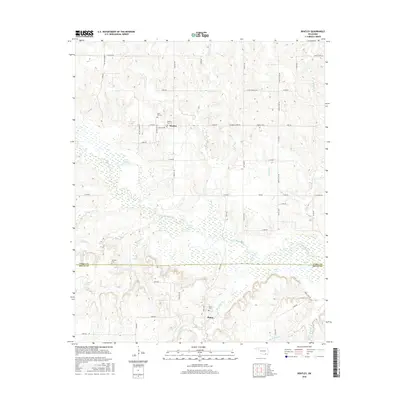
2016 Map of Bentley
USGS Topo · Published 2016About this map
Clear Boggy Creek defines the landscape of this southern Oklahoma region, winding through a network of wetlands and small lakes between the communities of Bentley and Matoy. The area is marked by a clear divide where the Atoka Co Bryan Co line bisects the territory, separating the higher elevations to the north from the alluvial lowlands. For those tracing family histories in the Choctaw Nation area, the map identifies several significant burial sites, including Cane Hill Cem, Bentley Cem, and Matoy Cem. The abundance of named water features like Grassy Lake, Twin Lakes, and Turnbull Springs suggests a terrain shaped by consistent seasonal flooding and a high water table, while a grid of local roads like S Bentley Rd and Sawmill Rd connects these rural homesteads and agricultural plots.
Find a feature on this map
59 named features on this map. Tap any name to fly to it.
Don’t see what you’re looking for? This feature index may not catch every label — zoom into the map to look around manually.
Map Details
Editions of this 2016 Bentley Map
This is the sole edition of this map. No revisions or reprints were ever made.
Other maps of this area

1899 · Atoka
USGS Topo · 1:125,000

1900 · Atoka
USGS Topo · 1:125,000

1901 · Antlers
USGS Topo · 1:125,000

1912 · Antlers
USGS Topo · 1:125,000

1925 · Antlers
USGS Topo · 1:125,000

1950 · Mcalester
USGS Topo · 1:250,000

1957 · Bruno
USGS Topo · 1:24,000

1957 · Lane
USGS Topo · 1:24,000

1957 · Ardmore
USGS Topo · 1:250,000

1962 · McAlester
USGS Topo · 1:250,000