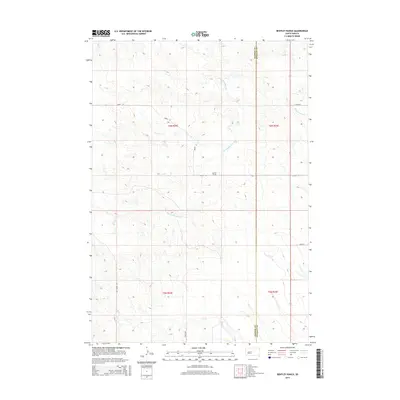
2015 Map of Bentley Ranch
USGS Topo · Published 2015About this map
The Bentley Ranch occupies a central position within this 2015 U.S. Geological Survey topographic map, illustrating the remote ranching landscape of western South Dakota. The area is defined by its drainage systems, including the uniquely named Hermaphrodite Cr, which winds through the central portion of the quadrangle before meeting Wagonhound Cr to the east. Further south, Plum Cr cuts across the lower terrain near the Haakon Co Stanley Co boundary line. This modern survey reflects the enduring rural character of the Great Plains, where long, straight section roads like 246th Ave and 202nd St provide the only infrastructure across the township and range grid. Researchers can trace the intersections of local arteries such as Deep Creek Rd as they navigate the sparsely populated prairie environment.
Find a feature on this map
14 named features on this map. Tap any name to fly to it.
Don’t see what you’re looking for? This feature index may not catch every label — zoom into the map to look around manually.
Map Details
Editions of this 2015 Bentley Ranch Map
This is the sole edition of this map. No revisions or reprints were ever made.
Other maps of this area

1954 · Pierre
USGS Topo · 1:250,000

1956 · Kirley
USGS Topo · 1:24,000

1958 · Pierre
USGS Topo · 1:250,000

1982 · Sansarc
USGS Topo · 1:24,000

1982 · Hayes South
USGS Topo · 1:24,000

1982 · Whiteman Ranch
USGS Topo · 1:24,000

1982 · May Ranch
USGS Topo · 1:24,000

1983 · Bentley Ranch
USGS Topo · 1:24,000

1983 · Hayes North
USGS Topo · 1:24,000

1983 · Philip
USGS Topo · 1:100,000