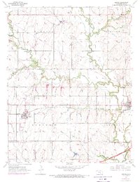
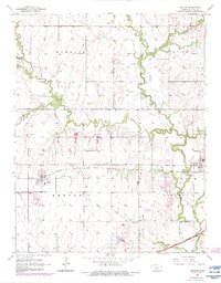
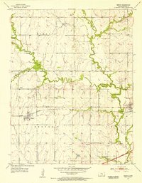
1955 Map of Benton
USGS Topo · Published 1971About this map
Benton and Towanda anchor this mid-century landscape in Butler County, where the agricultural grid meets the growing infrastructure of the 1950s and 1970s. The Missouri Pacific railroad cuts a straight east-west path through the center of the sheet, serving as a primary corridor for the local economy. In the southern reaches, the Kansas Turnpike Road (Toll) and Badger Creek mark the transition toward more modern transit networks.
Find a feature on this map
25 named features on this map. Tap any name to fly to it.
Don’t see what you’re looking for? This feature index may not catch every label — zoom into the map to look around manually.
Map Details
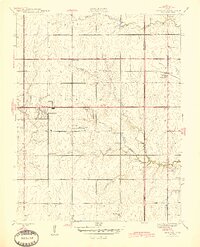
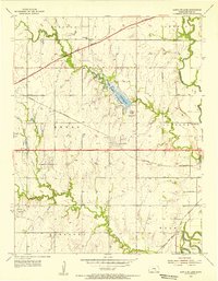
Editions of this 1955 Benton Map
3 editions found
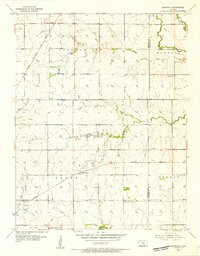
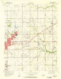
Other maps of this area

1888 · Eldorado
USGS Topo · 1:125,000

1889 · Wichita
USGS Topo · 1:125,000

1894 · Wichita
USGS Topo · 1:125,000
1945 · Andover
USGS Topo · 1:31,680
1955 · Santa Fe Lake
USGS Topo · 1:24,000
1955 · Benton
USGS Topo · 1:24,000
1955 · Greenwich
USGS Topo · 1:24,000

1955 · Wichita
USGS Topo · 1:250,000
1956 · Andover
USGS Topo · 1:24,000

1958 · Wichita
USGS Topo · 1:250,000