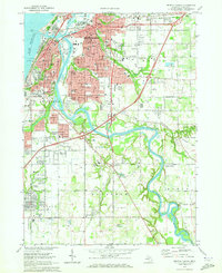
1970 Map of Benton Harbor
USGS Topo · Published 1973About this map
The St Joseph River and Paw Paw River converge at the twin cities of Benton Harbor and St Joseph in this detailed 1970 survey. The landscape is defined by the heavy rail presence of the Chesapeake and Ohio and Penn Central lines, which supported the region's industrial and agricultural base. Notable cultural landmarks include the House of David colony grounds and the growing campus of Lake Michigan College.
Find a feature on this map
102 named features on this map. Tap any name to fly to it.
Don’t see what you’re looking for? This feature index may not catch every label — zoom into the map to look around manually.
Map Details
Editions of this 1970 Benton Harbor Map
2 editions found
Other maps of this area

1927 · Niles
USGS Topo · 1:62,500

1927 · Benton Harbor
USGS Topo · 1:62,500

1930 · Three Oaks
USGS Topo · 1:62,500

1930 · Benton Harbor
USGS Topo · 1:62,500

1930 · Niles
USGS Topo · 1:62,500

1943 · Niles
USGS Topo · 1:62,500

1944 · Three Oaks
USGS Topo · 1:62,500

1953 · Chicago
USGS Topo · 1:250,000

1957 · Chicago
USGS Topo · 1:250,000

1958 · Racine
USGS Topo · 1:250,000