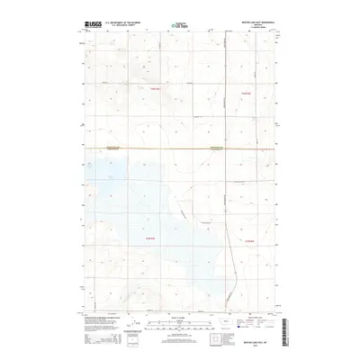
2014 Map of Benton Lake East
USGS Topo · Published 2014About this map
Benton Lake dominates the southern half of this landscape, its expansive waters and marshes filling the lowlands north of Great Falls. This 2014 survey illustrates the complex water management and access routes within the Benton Lake Rd area, where a grid of local thoroughfares such as Paulsen Rd and Anderson Rd provides access to the high plains surrounding the water. The map traces the political boundary where Chouteau Co and Cascade Co meet, a line cutting through the north of the lake basin. Significant local routes like the historic Bootlegger Trl run north-south through the eastern sections, while Wilson Rd and Lower Marsh Dr define the immediate shoreline and wetlands, essential for understanding the hydrological and agricultural patterns of this prairie region.
Find a feature on this map
15 named features on this map. Tap any name to fly to it.
Don’t see what you’re looking for? This feature index may not catch every label — zoom into the map to look around manually.
Map Details
Editions of this 2014 Benton Lake East Map
This is the sole edition of this map. No revisions or reprints were ever made.
Other maps of this area

1886 · Great Falls
USGS Topo · 1:250,000

1948 · Portage
USGS Topo · 1:62,500

1949 · Portage
USGS Topo · 1:62,500

1949 · Timber Coulee
USGS Topo · 1:62,500

1949 · Great Falls
USGS Topo · 1:62,500

1950 · Timber Coulee
USGS Topo · 1:62,500

1950 · Dent Bridge
USGS Topo · 1:62,500

1951 · Great Falls
USGS Topo · 1:62,500

1954 · Great Falls
USGS Topo · 1:250,000

1957 · Great Falls
USGS Topo · 1:250,000