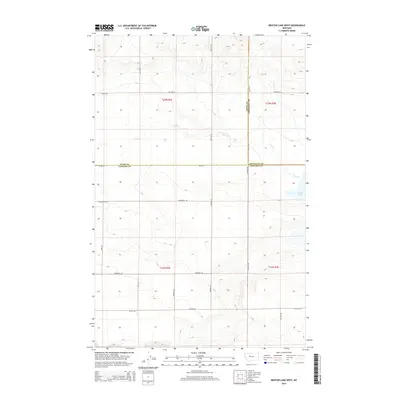
2014 Map of Benton Lake West
USGS Topo · Published 2014About this map
Benton Lake occupies the eastern edge of this landscape where the boundaries of Cascade, Teton, and Chouteau counties converge. The terrain is defined by a sparse network of section-line roads and the seasonal drainage of Lake Cr, reflecting the vast, open character of north-central Montana. The map provides a look at the rural infrastructure in the early 21st century, where large-scale land divisions and established family-named routes such as Gunderson Rd, Stuckey Rd, and Hevron Rd illustrate the persistent agrarian layout of the region. This 2014 survey documents the enduring spatial organization of the Great Plains, where long stretches of road like Wilson Rd and Love Rd connect isolated townships. Researchers can trace the intersection of historical township lines, including T22N R2E and T23N R2E, across a landscape largely untouched by modern urbanization.
Find a feature on this map
24 named features on this map. Tap any name to fly to it.
Don’t see what you’re looking for? This feature index may not catch every label — zoom into the map to look around manually.
Map Details
Editions of this 2014 Benton Lake West Map
This is the sole edition of this map. No revisions or reprints were ever made.
Other maps of this area
1886 · Great Falls
USGS Topo · 1:250,000
1949 · Timber Coulee
USGS Topo · 1:62,500
1949 · Great Falls
USGS Topo · 1:62,500
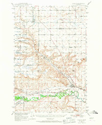
1949 · Vaughn
USGS Topo · 1:62,500
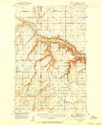
1950 · Timber Coulee
USGS Topo · 1:62,500
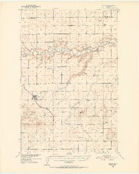
1950 · Dutton
USGS Topo · 1:62,500
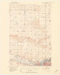
1951 · Great Falls
USGS Topo · 1:62,500
1952 · Vaughn
USGS Topo · 1:62,500

1954 · Great Falls
USGS Topo · 1:250,000
1957 · Great Falls
USGS Topo · 1:250,000