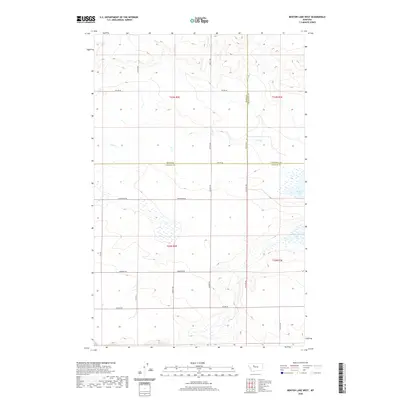
2020 Map of Benton Lake West
USGS Topo · Published 2020About this map
The western margins of Benton Lake dominate the eastern edge of this Central Montana landscape, where the prairie transitions into a grid of rural sections. This 2020 survey captures the expansive wetland complexes and shorelines of the lake, which are fed by the meandering course of Lake Cr as it winds through the northern townships. The terrain is defined by its agricultural and drainage patterns, marked by a precise network of section-line roads named for local families and early settlers. Notable thoroughfares include Anderson Rd, Laubach Rd, and Klatt Rd, which provide access across the rolling plains. The map also delineates the convergence of three county lines—Teton, Chouteau, and Cascade—highlighting this area as a significant jurisdictional crossroads in the heart of the state's grain and ranching country.
Find a feature on this map
23 named features on this map. Tap any name to fly to it.
Don’t see what you’re looking for? This feature index may not catch every label — zoom into the map to look around manually.
Map Details
Editions of this 2020 Benton Lake West Map
This is the sole edition of this map. No revisions or reprints were ever made.
Other maps of this area

1886 · Great Falls
USGS Topo · 1:250,000

1949 · Timber Coulee
USGS Topo · 1:62,500

1949 · Great Falls
USGS Topo · 1:62,500

1949 · Vaughn
USGS Topo · 1:62,500

1950 · Timber Coulee
USGS Topo · 1:62,500

1950 · Dutton
USGS Topo · 1:62,500

1951 · Great Falls
USGS Topo · 1:62,500

1952 · Vaughn
USGS Topo · 1:62,500

1954 · Great Falls
USGS Topo · 1:250,000

1957 · Great Falls
USGS Topo · 1:250,000