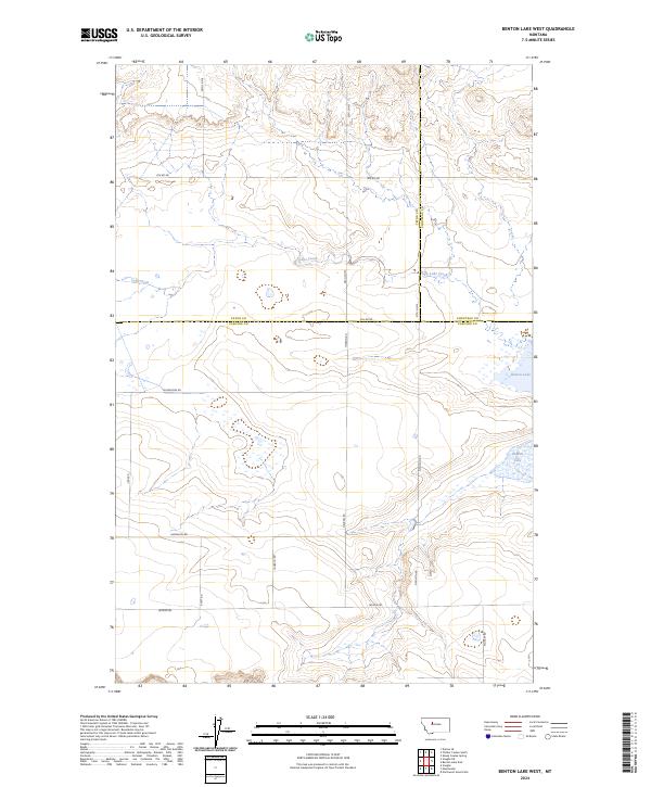
2024 Map of Benton Lake West
USGS Topo · Published 2024About this map
Benton Lake National Wildlife Refuge dominates the eastern landscape of this quadrangle, preserving a vital wetland ecosystem where the waters of Benton Lake and Lake Creek meet. This terrain is defined by a grid of rural roads that trace the section lines of the Public Land Survey System, marking the boundaries of Cascade, Teton, and Chouteau counties.
Find a feature on this map
23 named features on this map. Tap any name to fly to it.
Don’t see what you’re looking for? This feature index may not catch every label — zoom into the map to look around manually.
Map Details
Editions of this 2024 Benton Lake West Map
This is the sole edition of this map. No revisions or reprints were ever made.
Other maps of this area

1886 · Great Falls
USGS Topo · 1:250,000

1949 · Timber Coulee
USGS Topo · 1:62,500

1949 · Great Falls
USGS Topo · 1:62,500

1949 · Vaughn
USGS Topo · 1:62,500

1950 · Timber Coulee
USGS Topo · 1:62,500

1950 · Dutton
USGS Topo · 1:62,500

1951 · Great Falls
USGS Topo · 1:62,500

1952 · Vaughn
USGS Topo · 1:62,500

1954 · Great Falls
USGS Topo · 1:250,000

1957 · Great Falls
USGS Topo · 1:250,000