1975 Map of Benton SE
USGS Topo · Published 1975About this map
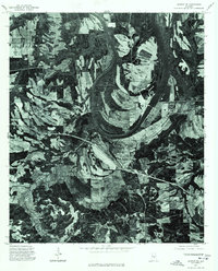
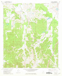
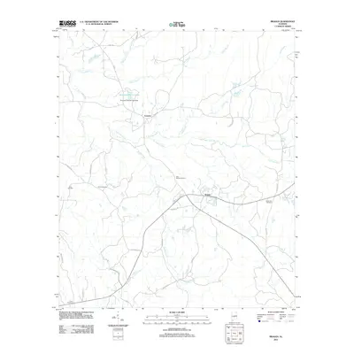
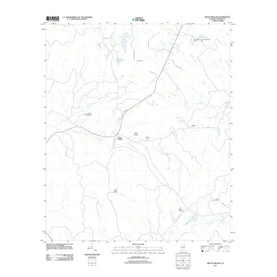
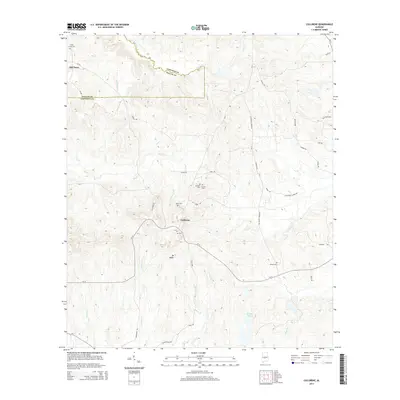
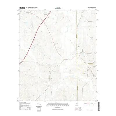
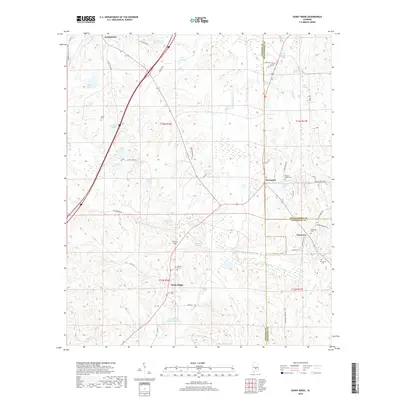
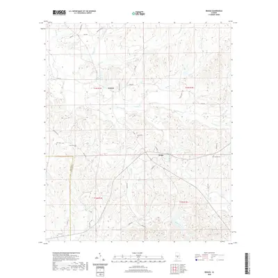
Benton sits at the heart of this orthophotoquad, which provides a direct visual record of the Lowndes County landscape as it existed in the mid-1970s. The photography captures the dramatic sweeping bend of the Alabama River, revealing the intricate patterns of agricultural fields and dense floodplain forests that define the region's geography. Unlike a traditional line-drawn map, this aerial survey shows the actual texture of the terrain, including the precise layout of roads and the small cluster of buildings that comprise the riverfront settlement. The image documents the relationship between the historic community and the water, showing the cleared lands of the river bottom alongside the winding course of the river itself.
Find a feature on this map
2 named features on this map. Tap any name to fly to it.
Don’t see what you’re looking for? This feature index may not catch every label — zoom into the map to look around manually.
Map Details
Editions of this 1975 Benton SE Map
This is the sole edition of this map. No revisions or reprints were ever made.
Historical Maps of White Hall Through Time
46 maps found
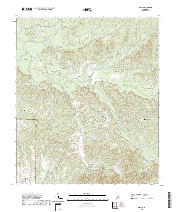
1957 Braggs
Lowndes County, AL
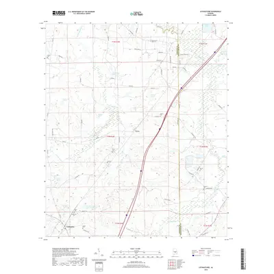
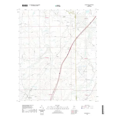
1975 Autaugaville SE
Lowndes County, AL
1975 Autaugaville SW
Lowndes County, AL
1975 Benton SE
Lowndes County, AL
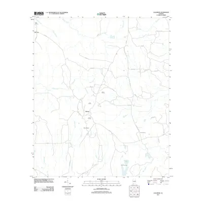
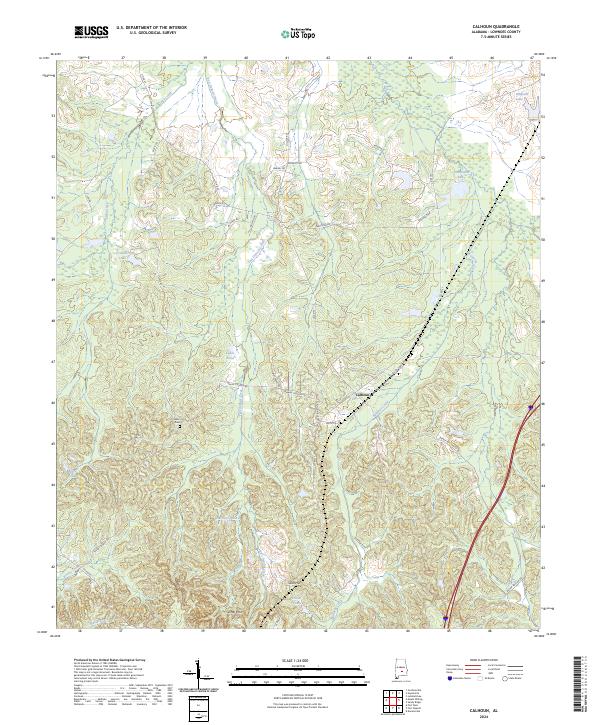
1981 Calhoun
Lowndes County, AL
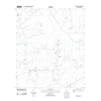
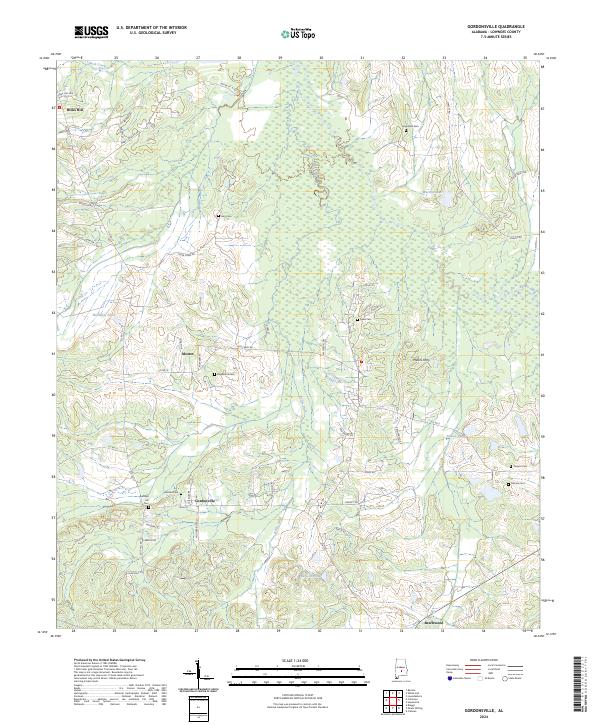
1981 Gordonsville
Lowndes County, AL
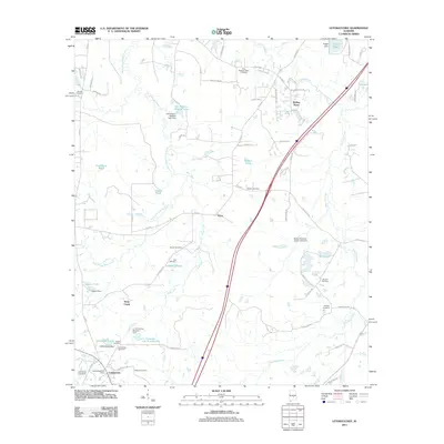
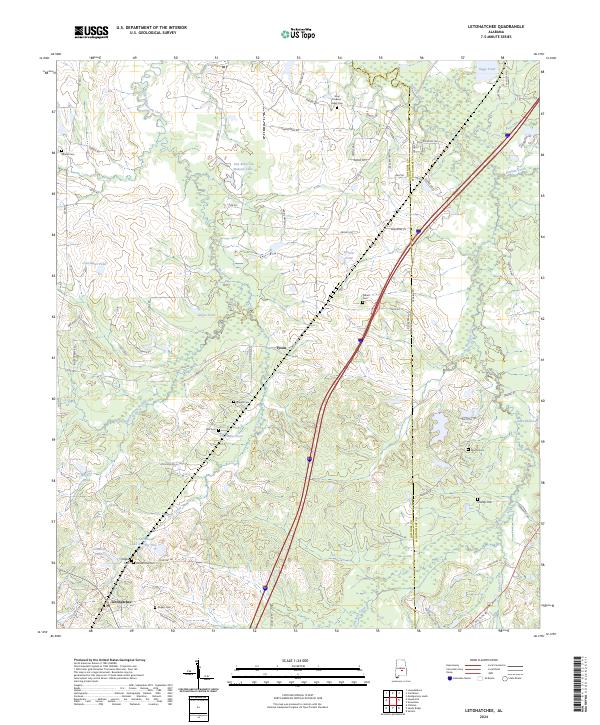
1981 Letohatchee
Lowndes County, AL
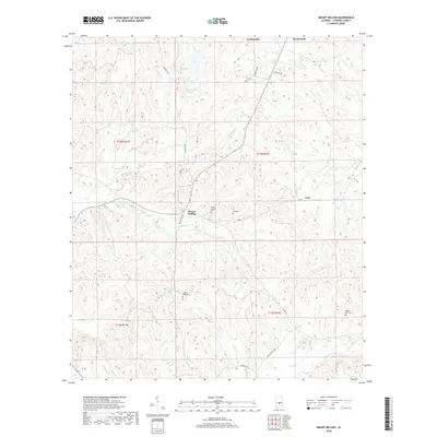
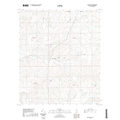
1981 Mount Willing
Lowndes County, AL
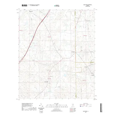
1981 Sandy Ridge
Lowndes County, AL
1987 Braggs
Lowndes County, AL
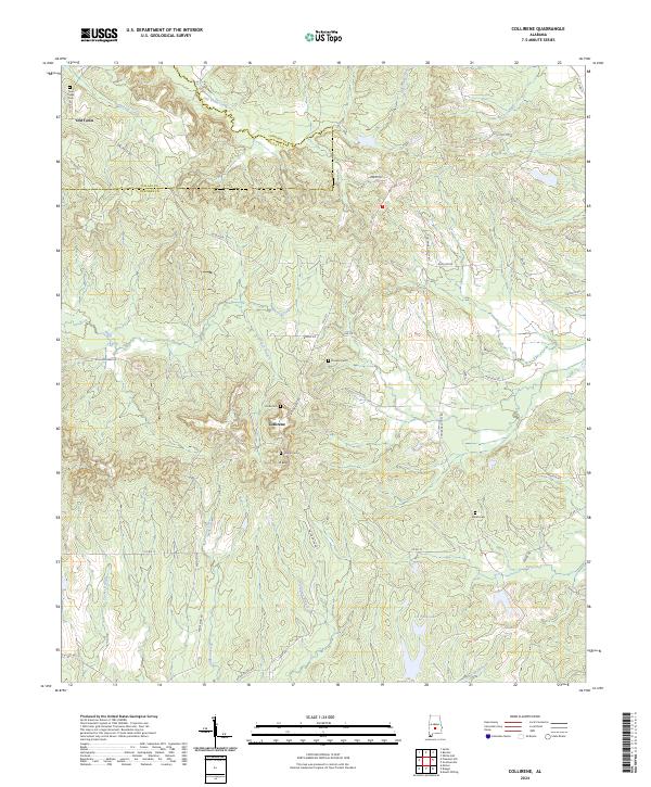
1987 Collirene
Lowndes County, AL
2011 Braggs
Lowndes County, AL
2011 Calhoun
Lowndes County, AL
2011 Collirene
Lowndes County, AL
2011 Gordonsville
Lowndes County, AL
2011 Letohatchee
Lowndes County, AL
2011 Mount Willing
Lowndes County, AL
2011 Sandy Ridge
Lowndes County, AL
2014 Braggs
Lowndes County, AL
2014 Calhoun
Lowndes County, AL
2014 Collirene
Lowndes County, AL
2014 Gordonsville
Lowndes County, AL
2014 Letohatchee
Lowndes County, AL
2014 Mount Willing
Lowndes County, AL
2014 Sandy Ridge
Lowndes County, AL
2018 Braggs
Lowndes County, AL
2018 Calhoun
Lowndes County, AL
2018 Collirene
Lowndes County, AL
2018 Gordonsville
Lowndes County, AL
2018 Letohatchee
Lowndes County, AL
2018 Mount Willing
Lowndes County, AL
2018 Sandy Ridge
Lowndes County, AL
2020 Braggs
Lowndes County, AL
2020 Calhoun
Lowndes County, AL
2020 Collirene
Lowndes County, AL
2020 Gordonsville
Lowndes County, AL
2020 Letohatchee
Lowndes County, AL
2020 Mount Willing
Lowndes County, AL
2020 Sandy Ridge
Lowndes County, AL
2024 Braggs
Lowndes County, AL
2024 Calhoun
Lowndes County, AL
2024 Collirene
Lowndes County, AL
2024 Gordonsville
Lowndes County, AL
2024 Letohatchee
Lowndes County, AL
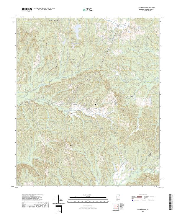
2024 Mount Willing
Lowndes County, AL
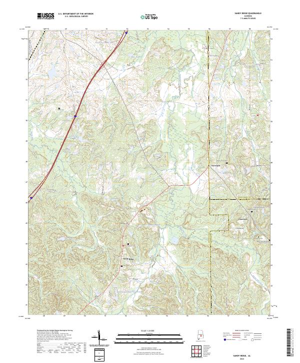
2024 Sandy Ridge
Lowndes County, AL