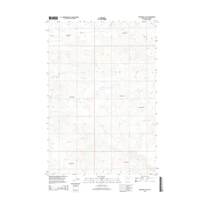
2014 Map of Bentonite Flats
USGS Topo · Published 2014About this map
Bentonite Flats defines the central portion of this 2014 survey in Big Horn County, characterized by a complex drainage system that feeds into the surrounding plains. The geography is shaped primarily by the intricate network of Woody Crk, which branches into Big Woody Cr, Little Woody Cr, and Woody Cr as it moves across the terrain. These seasonal or intermittent watercourses indicate a landscape defined by erosion and the movement of water through the flats. At the southern edge of the map, the headwaters of Beauvais Cr emerge, marking the divide between different local watersheds. This map provides a detailed view of the public land survey system divisions across township and range lines, illustrating how this remote part of Montana is structured for land management and resource monitoring.
Find a feature on this map
12 named features on this map. Tap any name to fly to it.
Don’t see what you’re looking for? This feature index may not catch every label — zoom into the map to look around manually.
Map Details
Editions of this 2014 Bentonite Flats Map
This is the sole edition of this map. No revisions or reprints were ever made.
Other maps of this area

1893 · Huntley
USGS Topo · 1:125,000

1894 · St. Xavier
USGS Topo · 1:125,000

1894 · Fort Custer
USGS Topo · 1:125,000

1901 · St. Xavier
USGS Topo · 1:125,000

1915 · Spenceville
USGS Topo · 1:31,680

1954 · Billings
USGS Topo · 1:250,000

1954 · Hardin
USGS Topo · 1:250,000

1957 · Hardin
USGS Topo · 1:250,000

1957 · Billings
USGS Topo · 1:250,000

1958 · Billings
USGS Topo · 1:250,000