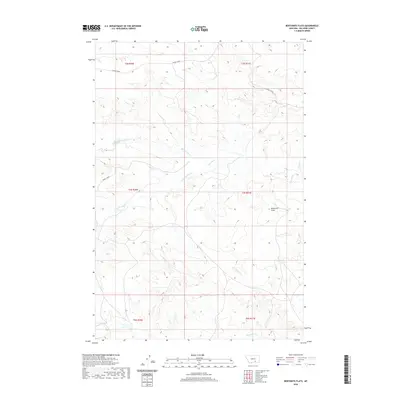
2020 Map of Bentonite Flats
USGS Topo · Published 2020About this map
Bentonite Flats occupies the heart of this Big Horn County landscape, a name that alludes to the region's geological composition and industrial potential. The terrain is defined by a dendritic network of drainage systems, primarily the eastward-flowing Woody Creek and its various tributaries including Big Woody Cr and Little Woody Cr. At the southern edge of the survey, the land slopes toward the basin of Beauvais Cr. This 2020 map, produced by the U.S. Geological Survey, uses data from the Public Land Survey System to delineate townships and ranges, such as t3s r31e, illustrating the precise grid that governs land ownership in this part of Montana. The lack of concentrated settlements or structural labels highlights the open, expansive character of the flats during the early 21st century.
Find a feature on this map
12 named features on this map. Tap any name to fly to it.
Don’t see what you’re looking for? This feature index may not catch every label — zoom into the map to look around manually.
Map Details
Editions of this 2020 Bentonite Flats Map
This is the sole edition of this map. No revisions or reprints were ever made.
Other maps of this area

1893 · Huntley
USGS Topo · 1:125,000

1894 · St. Xavier
USGS Topo · 1:125,000

1894 · Fort Custer
USGS Topo · 1:125,000

1901 · St. Xavier
USGS Topo · 1:125,000

1915 · Spenceville
USGS Topo · 1:31,680

1954 · Billings
USGS Topo · 1:250,000

1954 · Hardin
USGS Topo · 1:250,000

1957 · Hardin
USGS Topo · 1:250,000

1957 · Billings
USGS Topo · 1:250,000

1958 · Billings
USGS Topo · 1:250,000