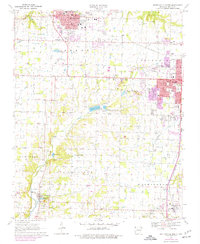
1970 Map of Bentonville South
USGS Topo · Published 1977About this map
Bentonville and Rogers dominate this northwest Arkansas landscape during a period of significant suburban expansion and infrastructure growth. Purple photorevision updates from 1976 reveal a shifting residential pattern, particularly around the Bentonville Municipal Airport and south toward Cave Springs. The corridor between the primary towns is dotted with local landmarks like the Drive-in Theater and the Benton County Memorial Gardens. A strong rural presence remains in the surrounding townships of Osage and Washington, where established community centers like Lowell and Liberty Bell Community Center serve as anchors. The survey captures the transition from farmland to commercial developments, such as the Southgate Shopping Center, while traditional landmarks like Mt Hebron Ch and Goad Springs Cem provide a genealogical record of the region's heritage.
Find a feature on this map
65 named features on this map. Tap any name to fly to it.
Don’t see what you’re looking for? This feature index may not catch every label — zoom into the map to look around manually.
Map Details
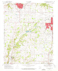
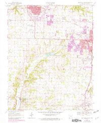
Editions of this 1970 Bentonville South Map
3 editions found
Other maps of this area

1899 · Fayetteville
USGS Topo · 1:125,000

1901 · Fayetteville
USGS Topo · 1:125,000

1904 · Fayetteville
USGS Topo · 1:125,000

1954 · Tulsa
USGS Topo · 1:250,000

1958 · Sonora
USGS Topo · 1:24,000

1958 · Rogers
USGS Topo · 1:24,000

1958 · Pea Ridge
USGS Topo · 1:24,000

1958 · Tulsa
USGS Topo · 1:250,000

1963 · Tulsa
USGS Topo · 1:250,000

1970 · Robinson
USGS Topo · 1:24,000