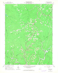
1967 Map of Bentree
USGS Topo · Published 1968About this map
Bentree and the surrounding hollows of West Virginia's coal country appear in high detail during the late 1960s. The landscape is defined by the intersection of industrial extraction and small-town communal life, with numerous Strip Mines and Oil Wells peppered across the ridges of Pleasant and Jefferson districts. The Chesapeake and Ohio railroad follows the winding path of Twentymile Creek, providing the vital transit link for the region's resources through Vaughan.
Find a feature on this map
68 named features on this map. Tap any name to fly to it.
Don’t see what you’re looking for? This feature index may not catch every label — zoom into the map to look around manually.
Map Details
Editions of this 1967 Bentree Map
2 editions found
Other maps of this area

1897 · Kanawha Falls
USGS Topo · 1:125,000

1900 · Kanawha Falls
USGS Topo · 1:125,000

1901 · Kanawha Falls
USGS Topo · 1:125,000

1907 · Clendenin
USGS Topo · 1:62,500

1908 · Clay
USGS Topo · 1:48,000

1908 · Fayetteville
USGS Topo · 1:48,000

1908 · Montgomery
USGS Topo · 1:48,000

1909 · Clendenin
USGS Topo · 1:62,500

1910 · Clay
USGS Topo · 1:62,500

1910 · Fayetteville
USGS Topo · 1:62,500